Beinn Achaladair South Top - 1002m
Beinn Achaladair - 1038m
Sunday 17th March 2013
Beinn Achaladair - 1038m
Sunday 17th March 2013
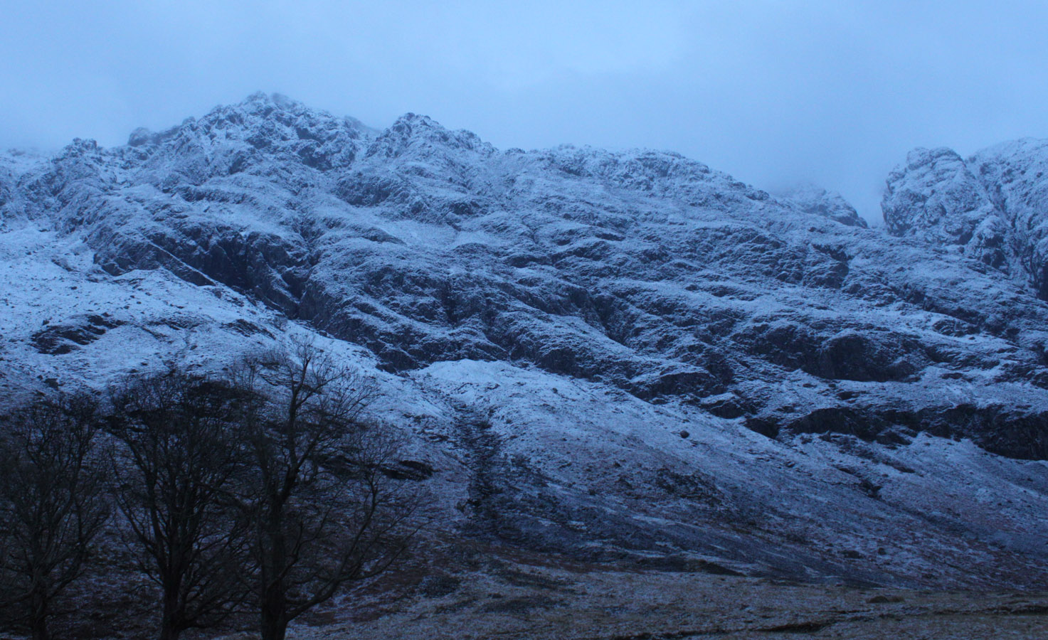
 Weather/Conditions: Cool full on winter conditions, but more benign than yesterdays storm on the summit. Quite stunning day, actually. Lots of freshly-fallen snow.
Distance/Ascent/Time: 16.2km / 1000m / 6h 30m
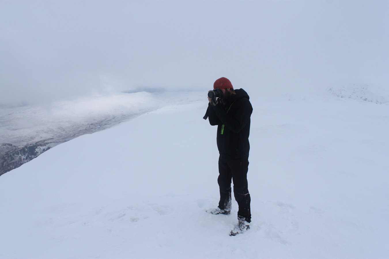
Accompanying: Struan
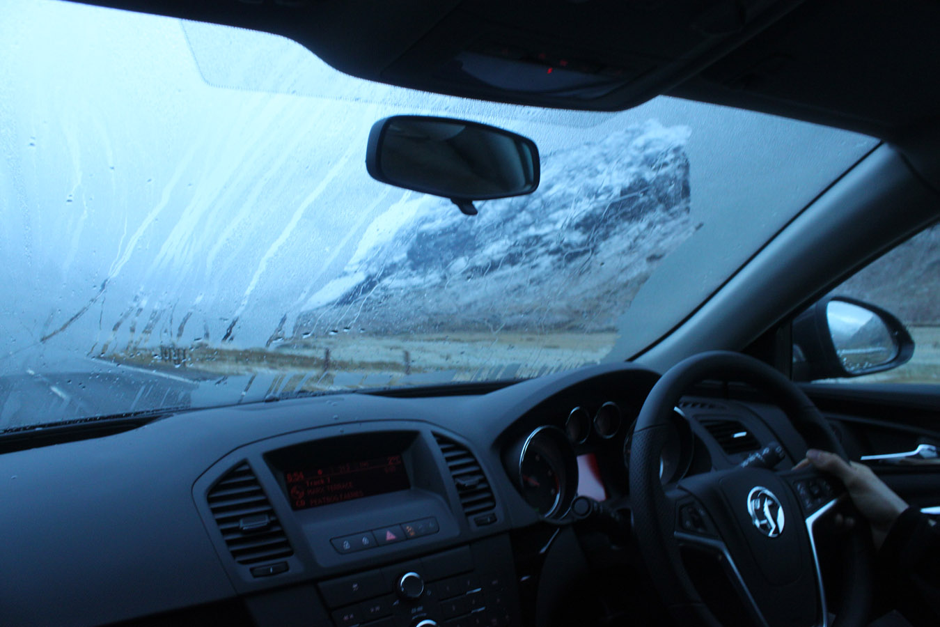
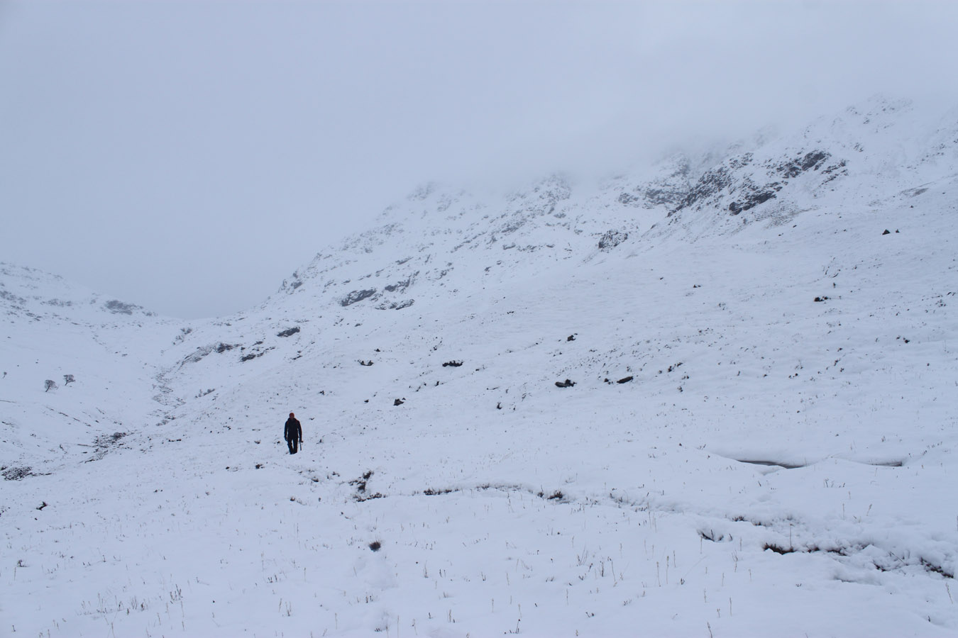
We drove down to Achallader Farm where they'd just installed a new car park down by the road, rather than by the farm. I don't blame them, though, the place can be heaving on summer weekends. I hadn't really had any breakfast (Struan insisted going straight to the hill!) and we parked up just before 8am. It was a cold morning, and I felt cold. When you haven't had the best night's sleep, and no breakfast, it's not the best combination for a strong effort.
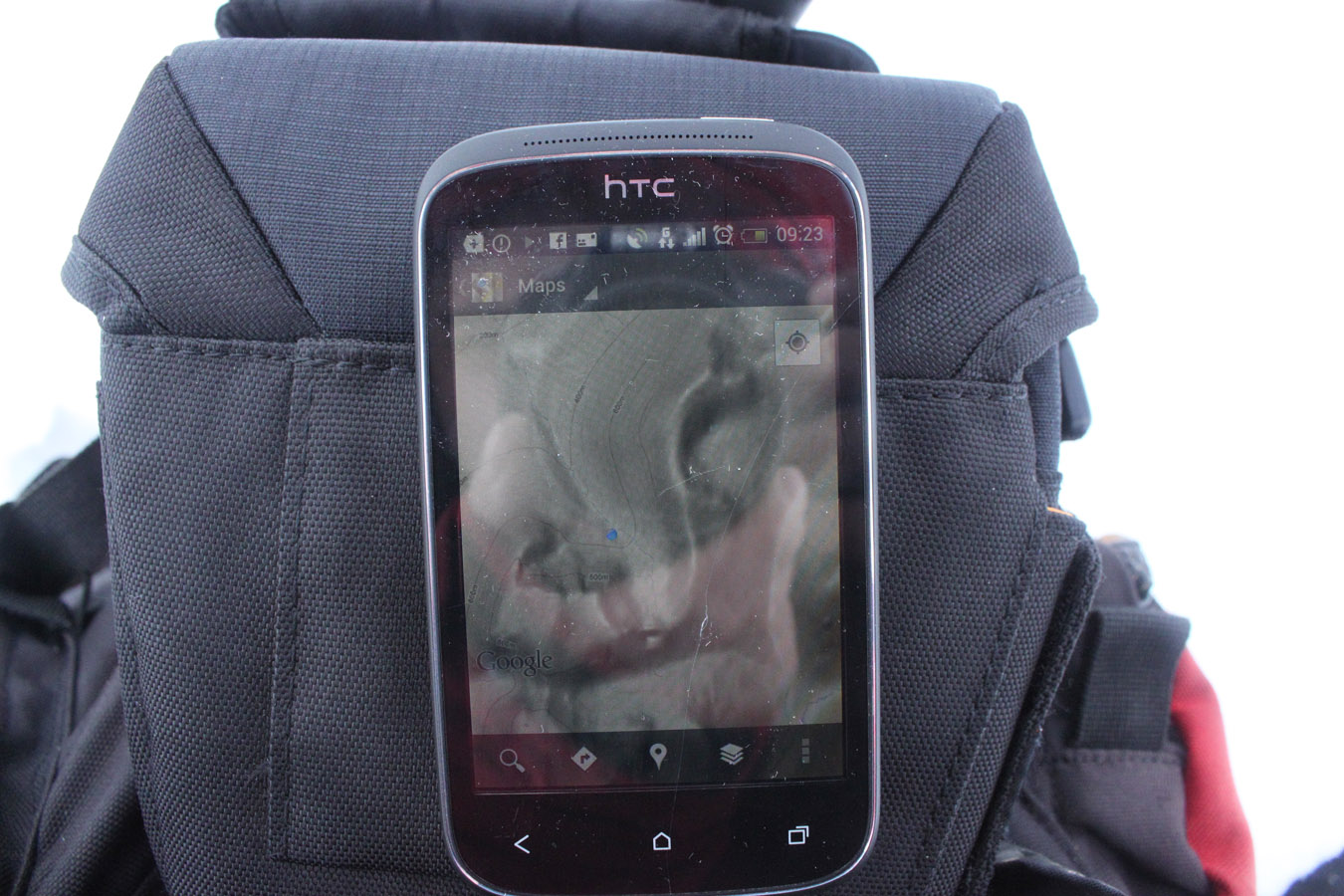

We set off, gaining the track into the coire. But some way up I realised with a shock; I'd left the map! Yes, the map was sitting in the car, and if there would be any day I'd have needed it, it was this one.
A couple of things became certain from the outset: we were now too high to practically retrieve the map, so we'd have to do without. Secondly, Beinn a' Chreachain was therefore likely not going to happen. I got my phone out, and got Google Maps out. Bit by bit, map tiles arrived through the poor mobile data. It told me all I needed to know about the topography of Achaladair, but I took a picture too, just in case. Beinn Achaladair is just a south-north ridge with a slight S-curve, so now even without a map, there shouldn't be any issue navigating on compass alone.
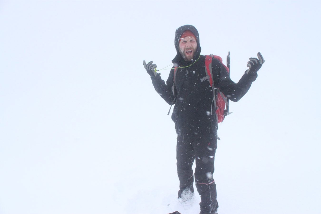

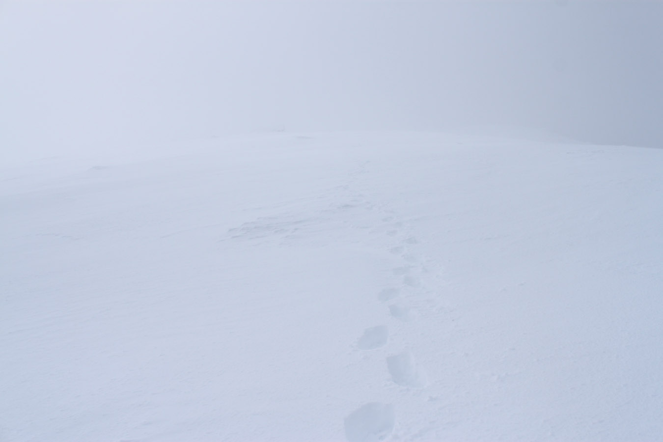

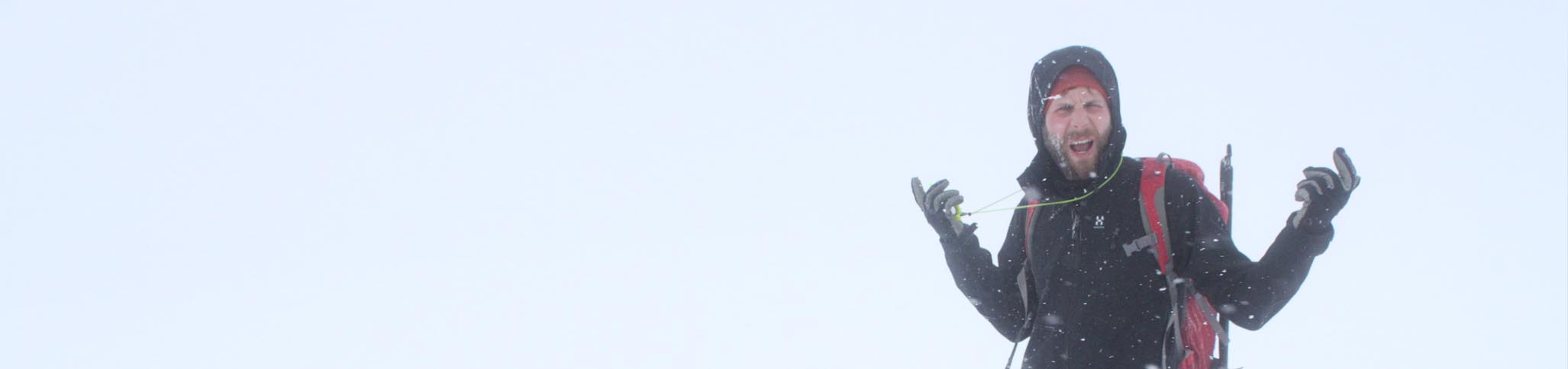
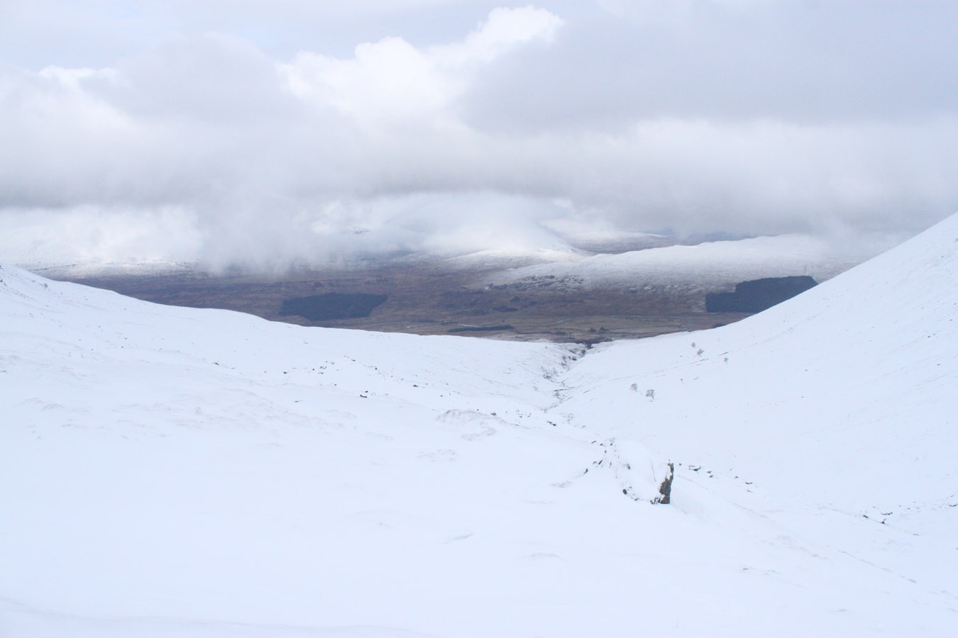
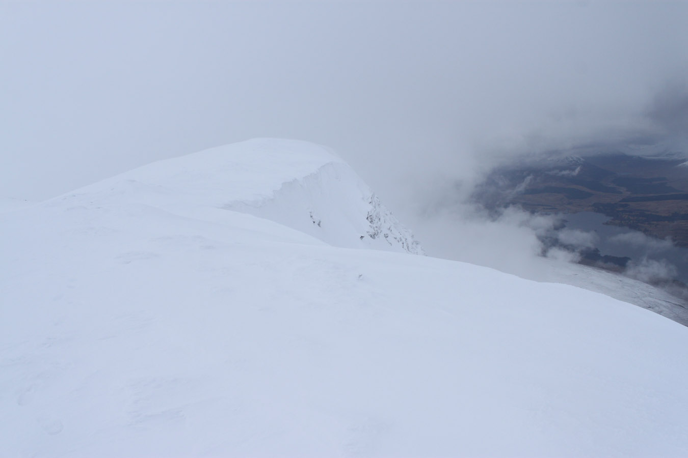
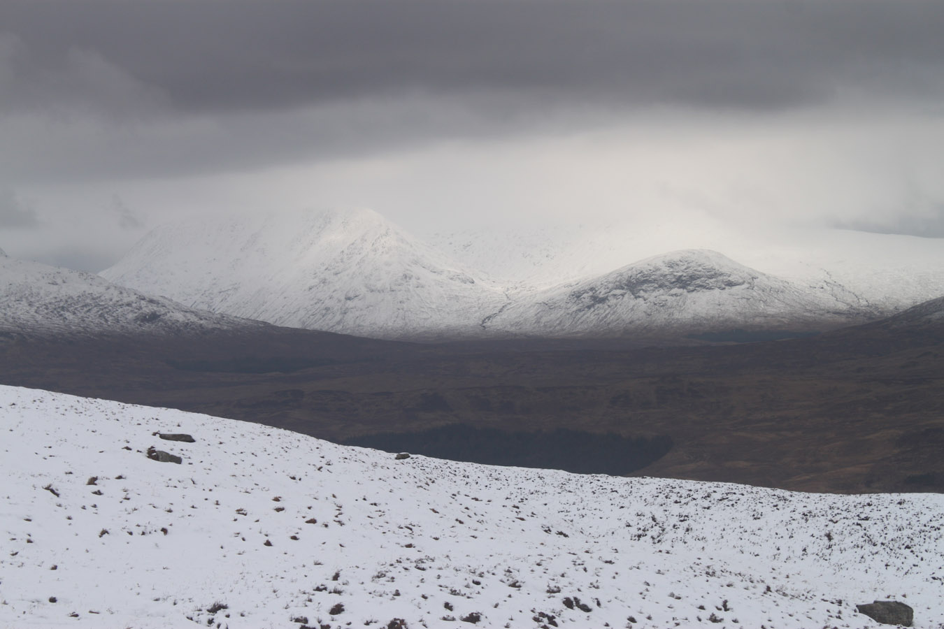
A lung-busting effort got us to the ridge at the back of the coire, then we began the walk up the ridge, watching the compass intently, sensing the land and the way the ground changed. I actually enjoyed this part a lot, unlike the brutal slog up the coire we'd emerged from. New snowfall tend to have that effect... In time, the summit arrived and we got a few breaks in the mist down to Achallader Farm. So near, yet so far. In extending our safety margins I felt a detachment from the valley floor that you feel when in mountaineering situations that are accompanied by risk.
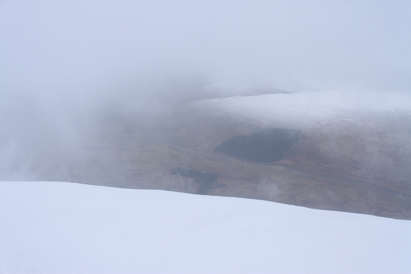
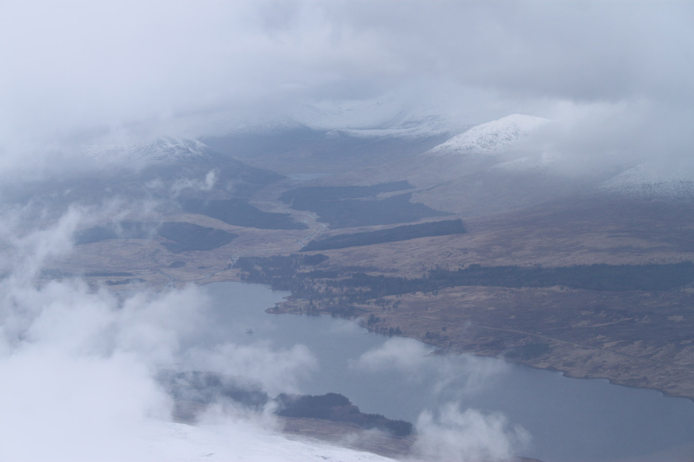
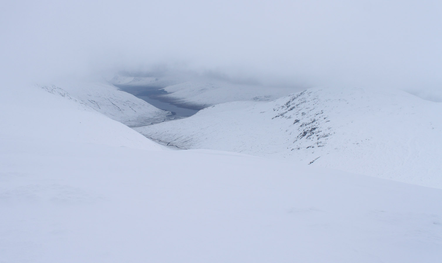
A bleak view opened up to Loch Lyon, and all else was white. We snapped some pictures then got on our way. Beinn a' Chreachain most certainly wasn't going to happen today. I felt like we touched back down to earth when we arrived back in the coire. We'd made it up and down safely, a thrilling fact. But I did feel like we'd come closer than normal to the limit of safety. After all, we had no map! But it was exciting, and a positive thing to know that despite screw-ups, a bit of cunning can keep things within reason. Just the walk out remained, which I actually remember essentially nothing about.
Later that day, Struan dropped me off at the top of Dumbarton, and I walked down the Rock where I eventually got a pick up for home.

Times (Time relative to 0.00)
(0.00) 8.00am Achaladair parking by A82
(3.25) 11.55am Beinn Achaladair
(6.30) 2.30pm Achaladair parking by A82
(0.00) 8.00am Achaladair parking by A82
(3.25) 11.55am Beinn Achaladair
(6.30) 2.30pm Achaladair parking by A82
Written: 2015-11-04