Creag na Buidsich - 147m
Wednesday 6th July 2011
Wednesday 6th July 2011
 Weather/Conditions: Calm, heavy air all day, even the slight threat of thunder. The sun came out but patches of cloud were very low on surrounding hills.
Distance/Ascent/Time: 35.7km / 650m / 5h 35m
Accompanying: Alone
Earlier in the day, I'd ticked seven of these Tops off my list of 27, and I was accordingly shattered. I cycled back to Ardbeg exhausted and sat down for a huge filling curry. I wasn't going anywhere - but not so fast! Once I'd finished my food, the scheming mind took over and I made plans for one more hill.
This was the deal. I had a day and a half left on Bute, and six Tops left to climb. These six were spread all across the island without means of linking them up as natural rounds. Any advantage I could gain tonight would stand me in better stead tomorrow, and when I'd sufficiently rested, I made moves to climb one Top not so far from where we were staying.
It's amazing what a rest and a meal can do for you. In an hour and a half, I'd gone from exhausted to willing for more. I cycled through Port Bannatyne and turned up toward the golf course. My muscles were aching, but I could do this...
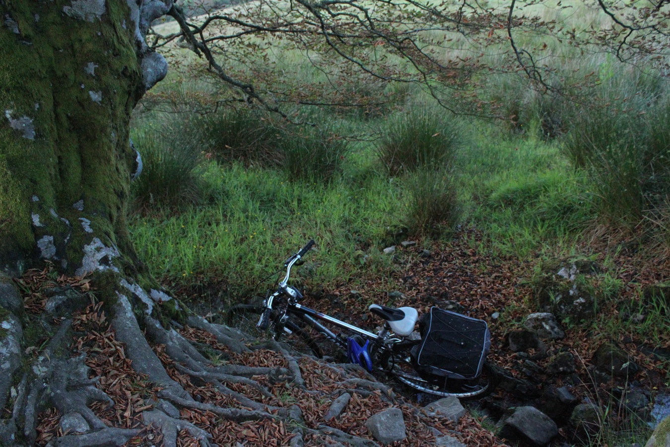
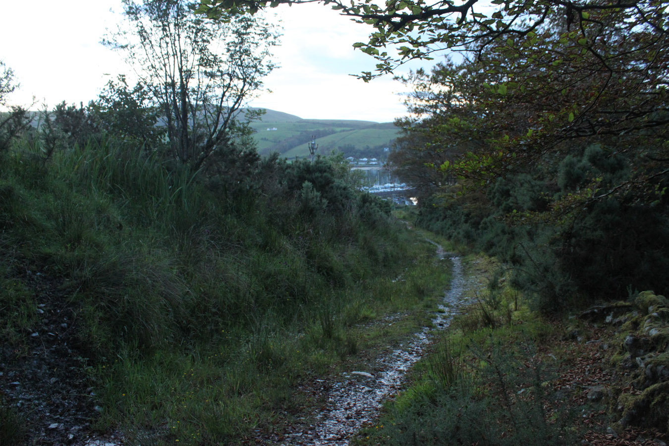
I left the bike beneath a tree and continued on foot up a track. I turned off through a forest and emerged to open moors, and had no problems until I saw the bulls. I made a quick exit.
So much for an easy hill! I quickly found myself entangled among the gorse bushes closest to hand. Here's a nice picture from another website to set the scene. Gorse bushes are thickly decorated in thorns and that's all I need to say. But it hurt, if I didn't mention already...
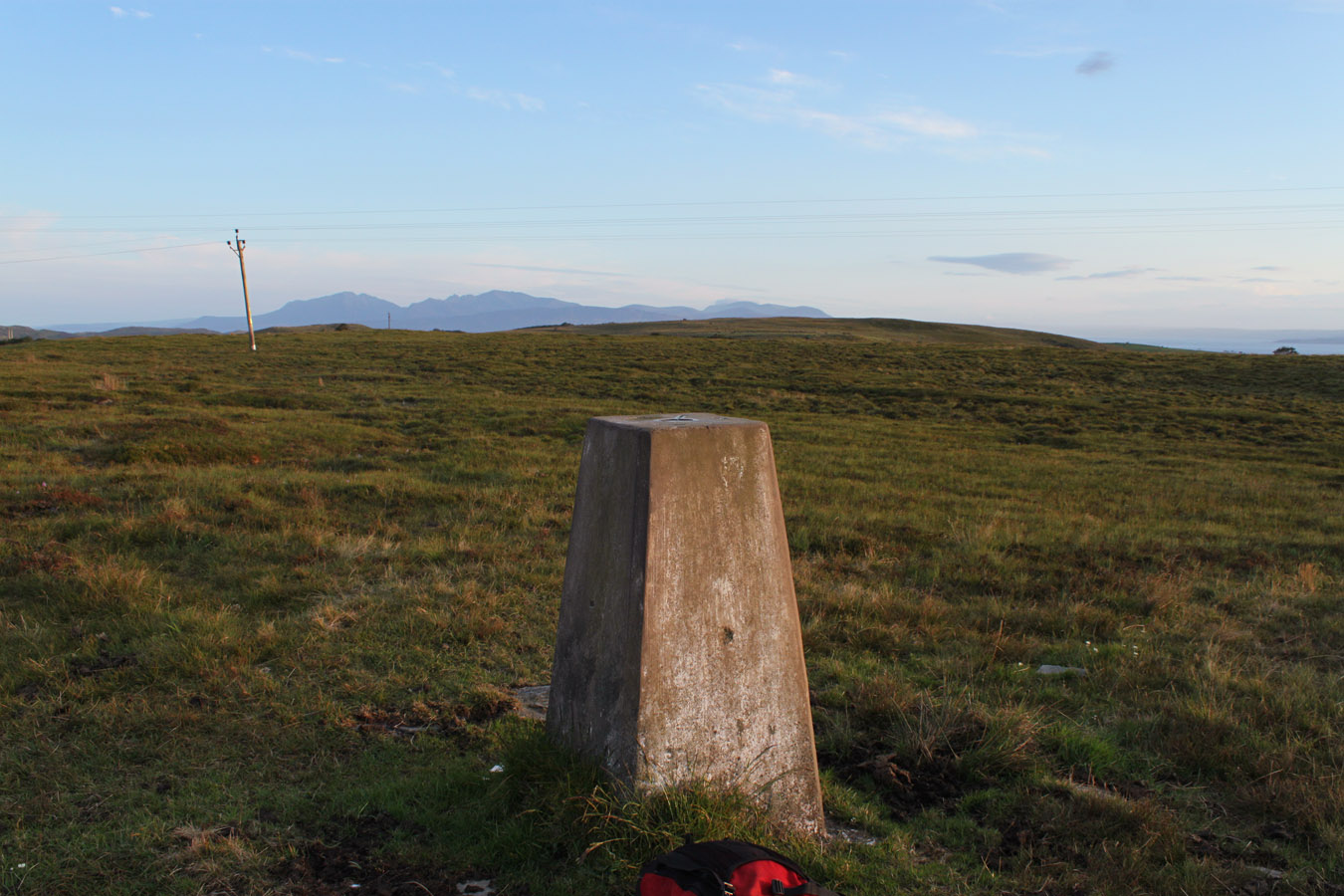
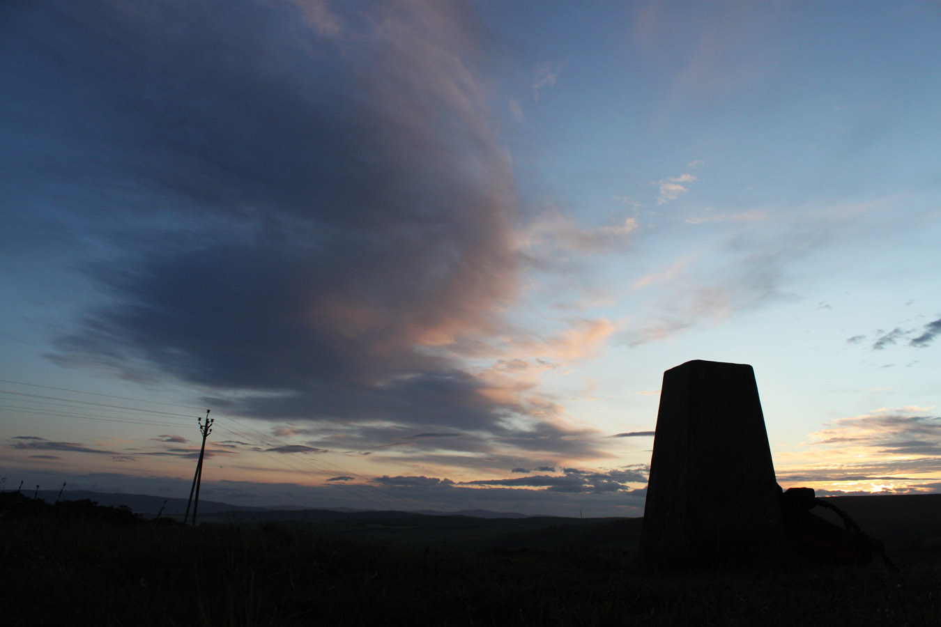
I walked up to a trig point and then continued onward to the highest point itself. There is a 'Dun' marked on the map - it's an old fort I suppose, I didn't see it on the ground, but it appears prominent on Google's satellite imagery. Creag na Buidsich itself seems to be the old name for a rock outcrop just south of the actual summit. It fascinates me to see little pockets of Gaelic names surviving in a place where that language is very much dead. It speaks of the past of Butes' inhabitants. In empty Highland glens, the cleared Gael's names have never been replaced, but in Bute (very much a living place) they have, by English-speaking occupants. And unlike more northerly Hebridean islands, Bute feels lowland.
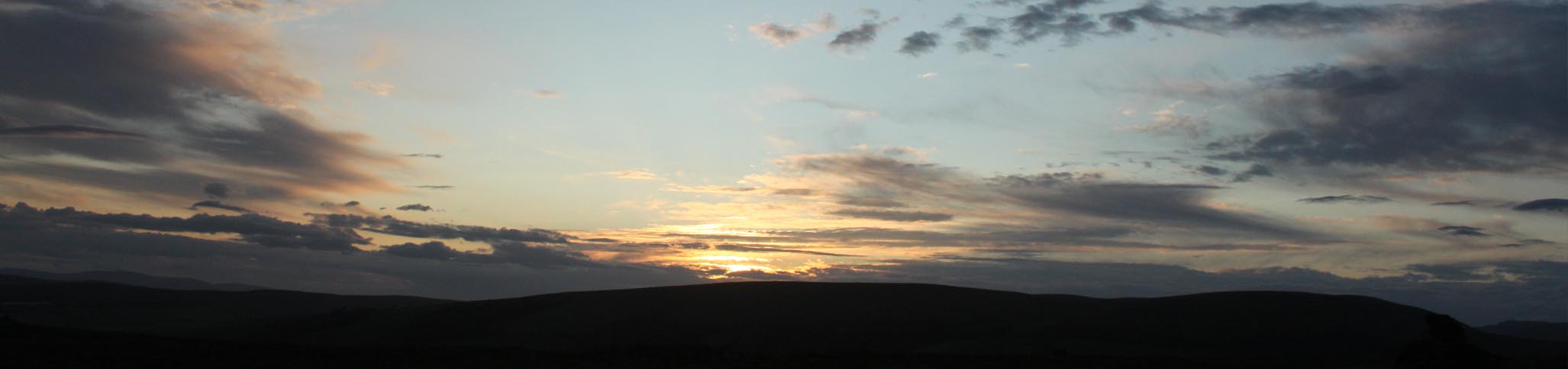
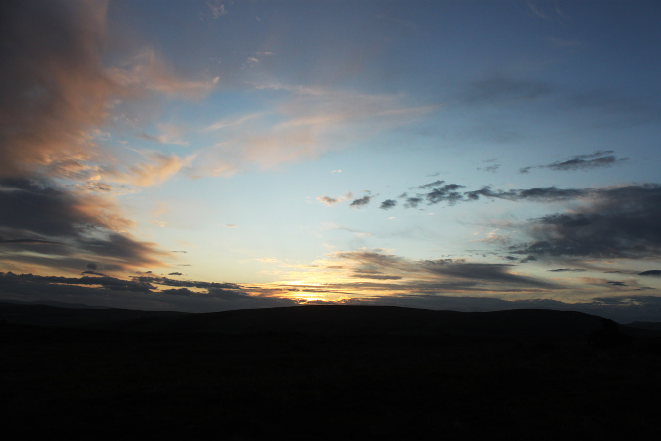
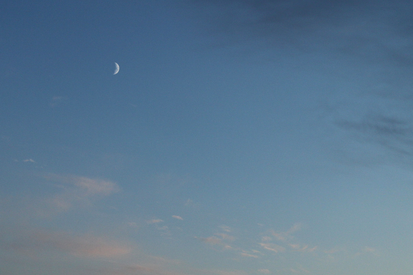
I got to my destination as the light began to fade. It was just as well because I didn't want to be out in the dark. As with most of Bute's Tops, navigation is actually quite hard where there are bulls, gorse bushes and fences to run into. It's a unique challenge but I can't say I enjoy it as much as the big mountains. This holiday was a bit of experimentation anyway!
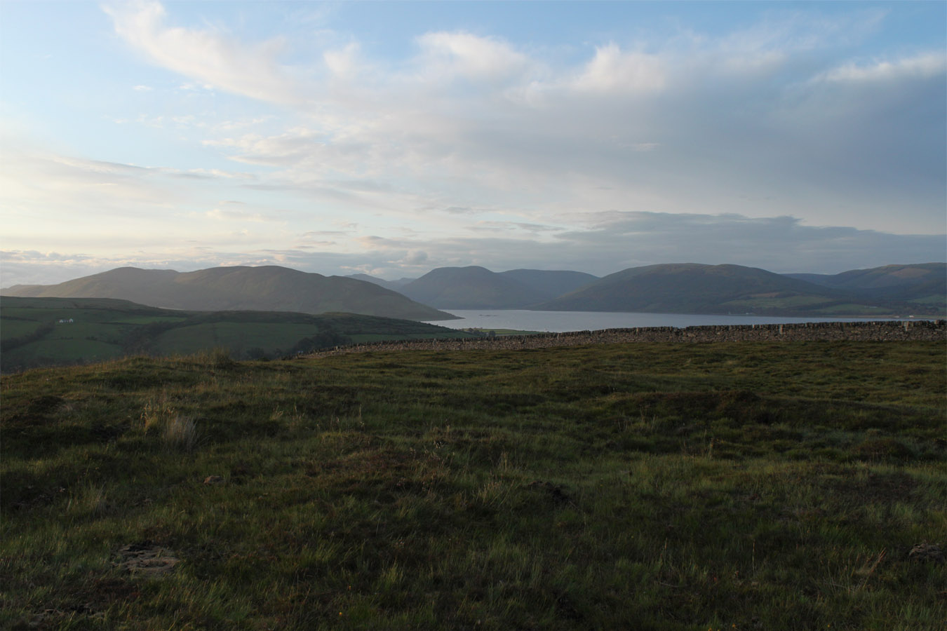
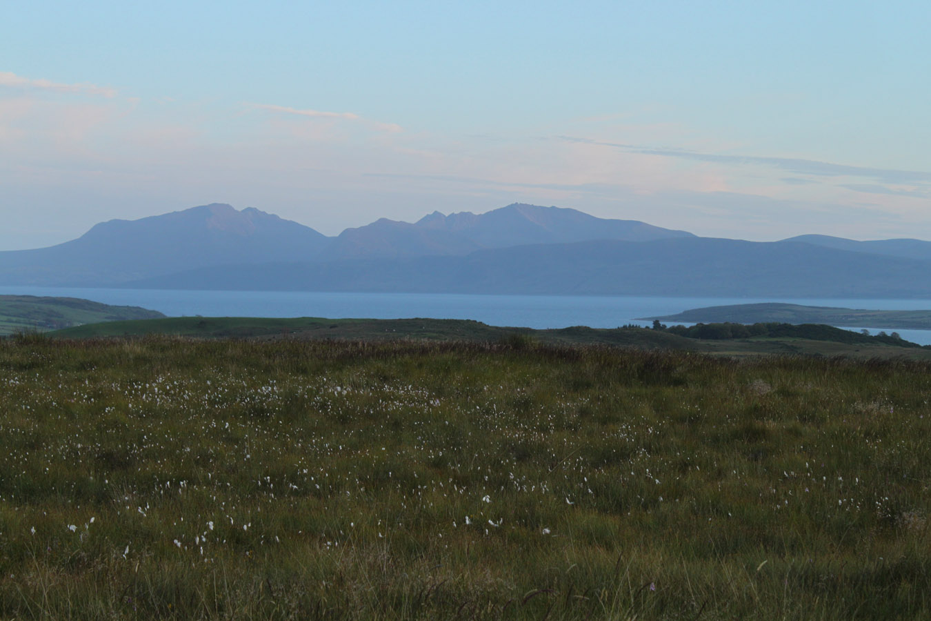
But for all the pitfalls, the views from up here were superb, out east and west beyond the island in both directions. I got back to the trig point and onwards to the bike. The light ever so slowly failed and I got back to Ardbeg with eight Tops climbed that day.
And now for the home straight...
Times (Time relative to 0.00)
(0.00) 8.50pm Ardbeg (start)
(0.30) 9.20pm 139m trig point
(0.40) 9.30pm Creag na Buidsich
(0.55) 9.45pm 139m trig point
(1.20) 10.10pm Ardbeg (end)
(0.00) 8.50pm Ardbeg (start)
(0.30) 9.20pm 139m trig point
(0.40) 9.30pm Creag na Buidsich
(0.55) 9.45pm 139m trig point
(1.20) 10.10pm Ardbeg (end)
Written: 2011-12-25