Creag Bhreac - 827m
Glas Tulaichean - 1051m
Carn an Righ - 1029m
Beinn Iutharn Mhor - 1045m
Mam nan Carn - 986m
Beinn Iutharn Bheag - 953m
Thursday 7th April 2011
Glas Tulaichean - 1051m
Carn an Righ - 1029m
Beinn Iutharn Mhor - 1045m
Mam nan Carn - 986m
Beinn Iutharn Bheag - 953m
Thursday 7th April 2011
 Weather/Conditions: Sunny spring weather in general, with hail and lowering cloud only on Glas Tulaichean's summit. High winds on all Munro summits however. While not warm, the sun was out and views were enormous. The walk out down Gleann Taitneach was warmer and very nice.
Distance/Ascent/Time: 27.7km / 1500m / 8h 45m
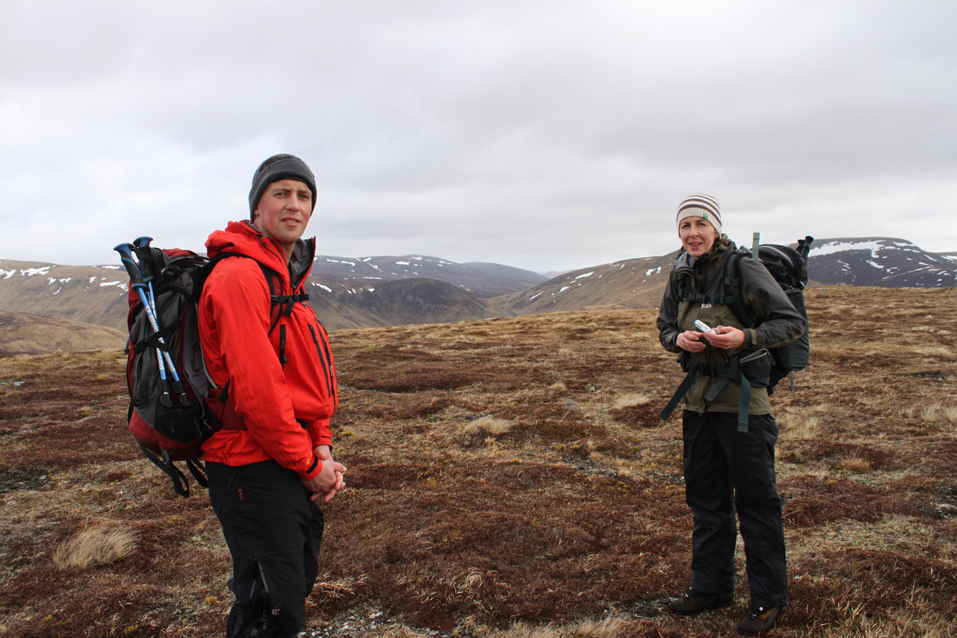
Accompanying: Colin and Faye
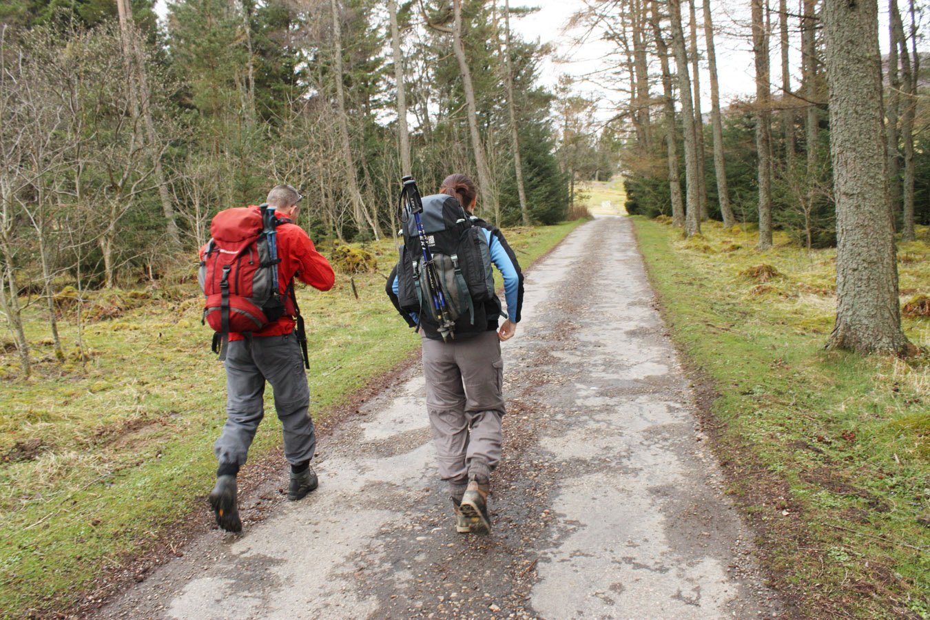
In the morning, I met Colin and Faye at Anniesland and we drove through the Spittal and onto Dalmunzie Castle. They allow hill walkers to park their cars here for £2 and it cuts 5km off what would already be a long day.
Glas Tulaichean
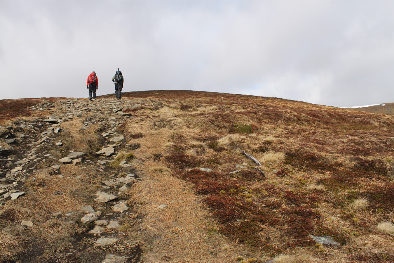
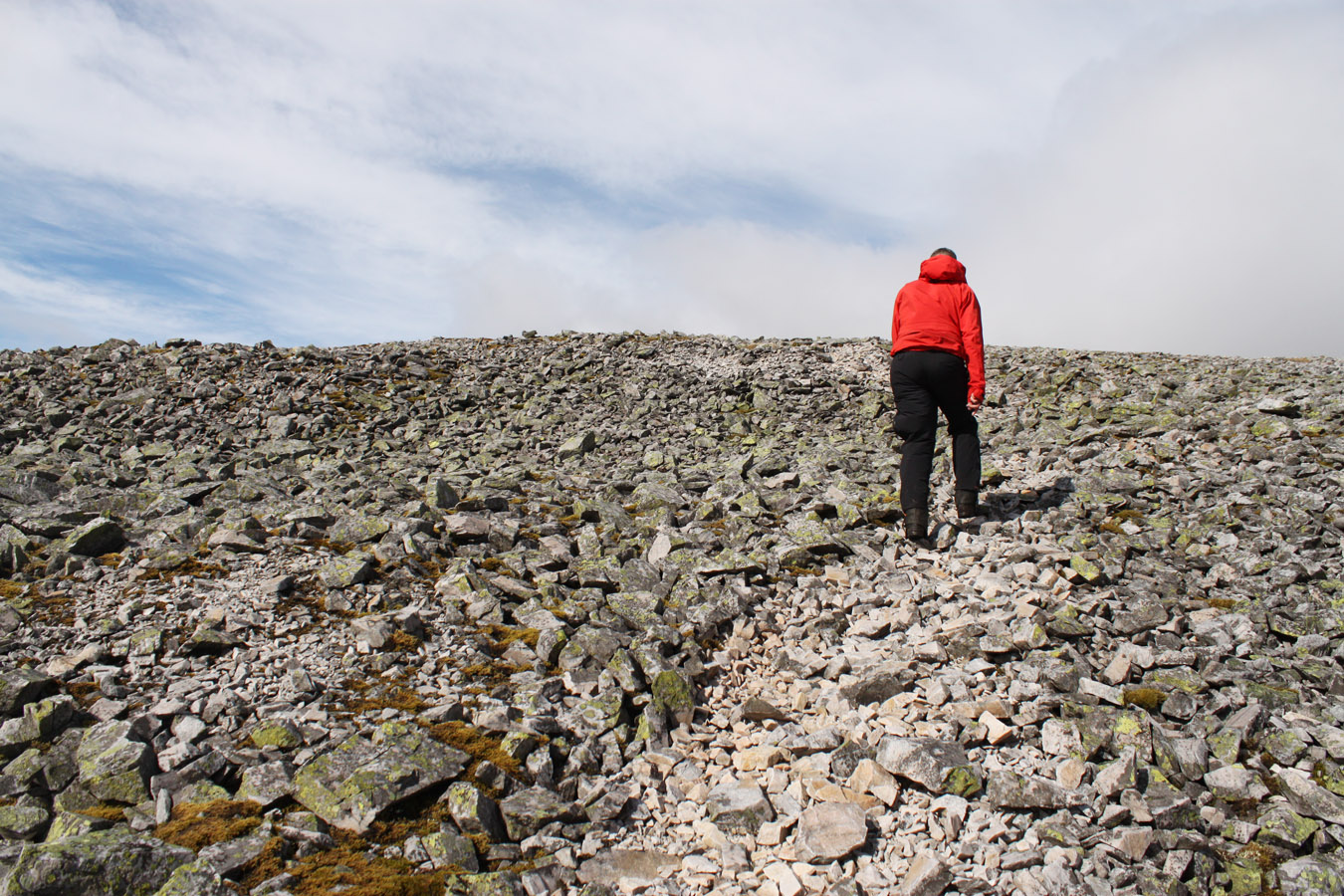
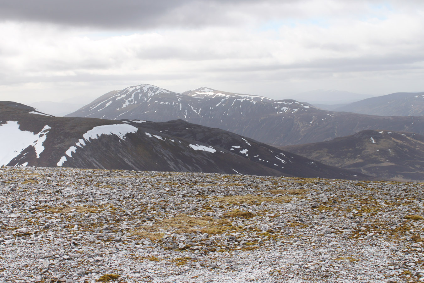
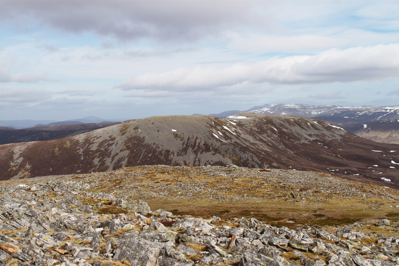
We set off from Dalmunzie Hotel under promising skies that could swing either way. Glen Lochsie doesn't have much going for it in views, except the scenery back out to Glen Shee. It wouldn't look out of place in the Southern Uplands, but the difference here is our target hill - Glas Tulaichean - rises to 1051m. This large, broad hill casts arms out like tyre spokes, all whalebacks of springy heather. As views opened up and the bulk of Beinn a' Ghlo pulled into our leftward view, we arrived on the long south-east ridge of Glas Tulaichean. At some time of year, I expect they are the green hillocks the name speaks of, but they looked more like ochre today. We climbed onto the Top Creag Bhreac and kept walking onto the south-eastern arm of Glas Tulaichean.
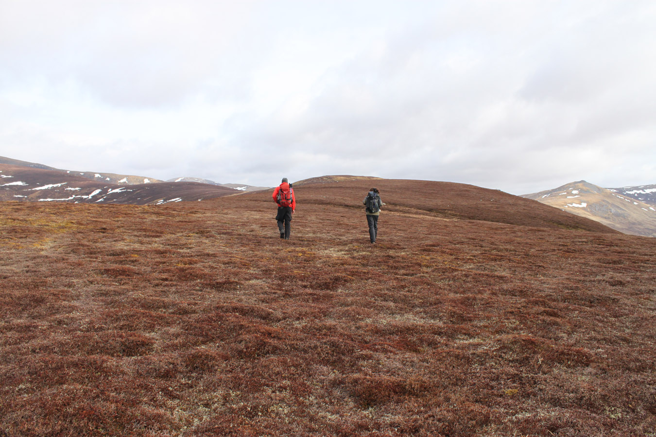
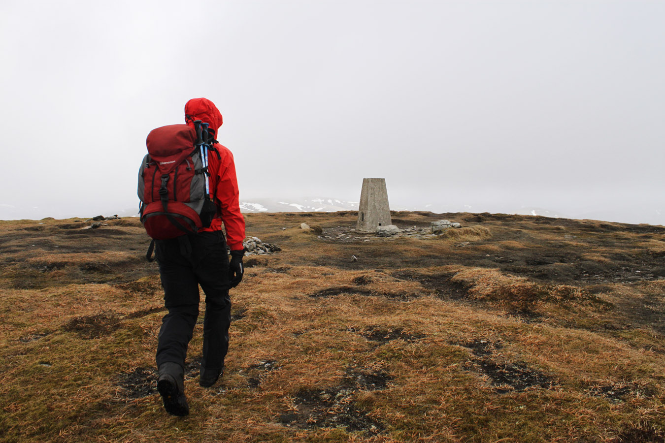
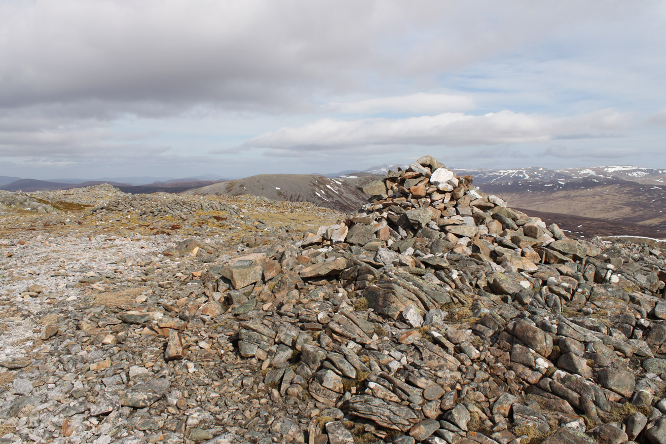
Further up the ridge, we stopped out of the wind (but on open ground that is very hard to do!) to take a break and have something to eat. The summit didn't seem far away now, but in true distance it was still a mile away. Then just as the skies and weather forecast had seemed variable, cloud lowered towards the summit and visibility was bad enough that I couldn't take a 360° panorama when we got to the summit. With sandblasting hail, we didn't hang around and walked off the other side in the direction of our second mountain, Carn an Righ.


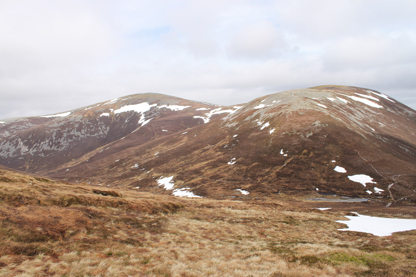
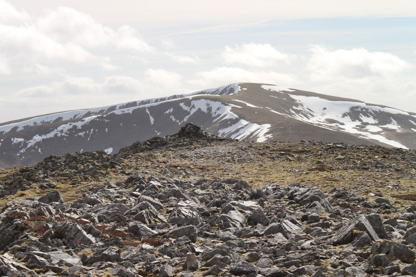
Carn an Righ
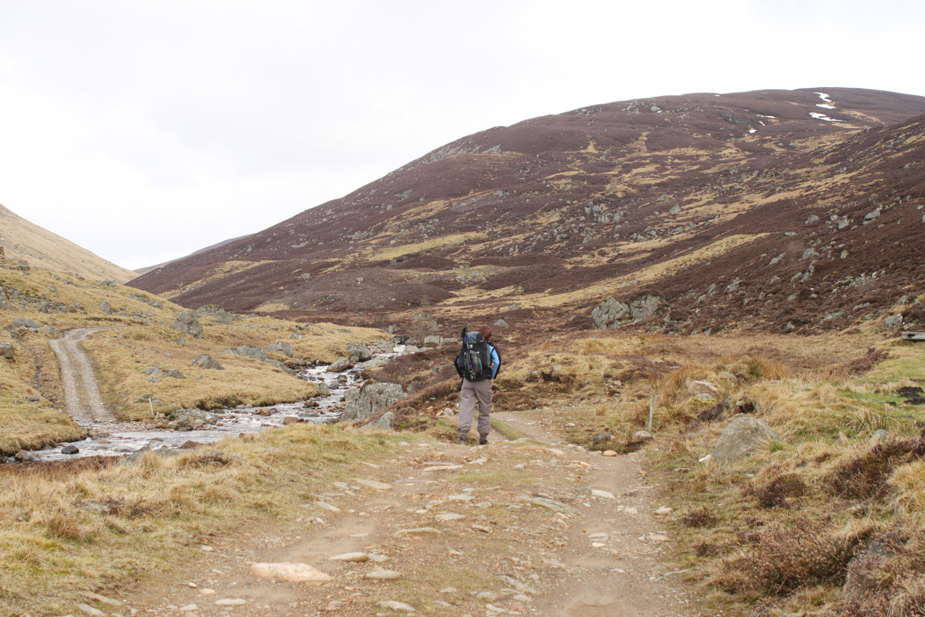
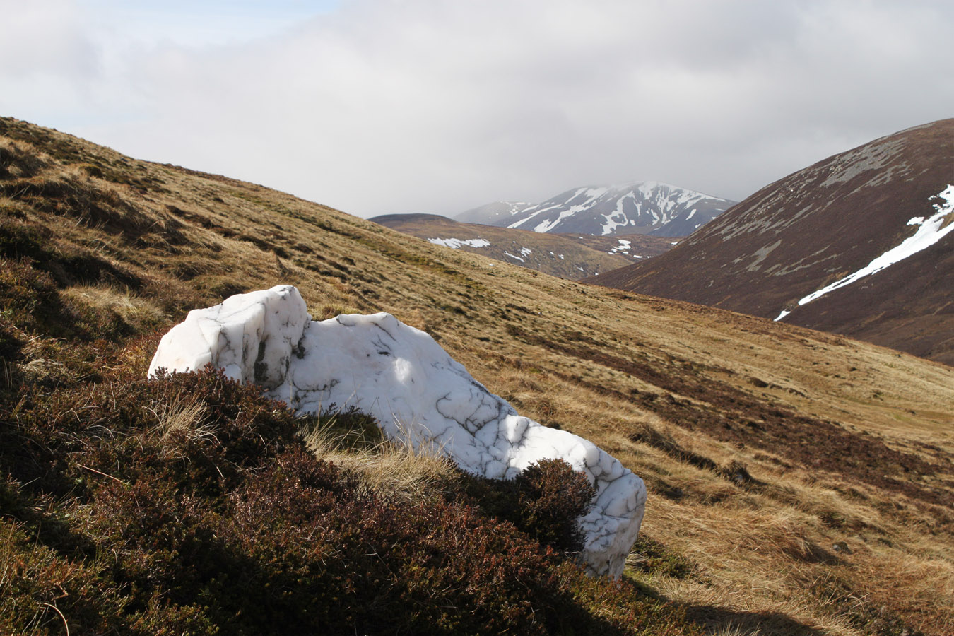
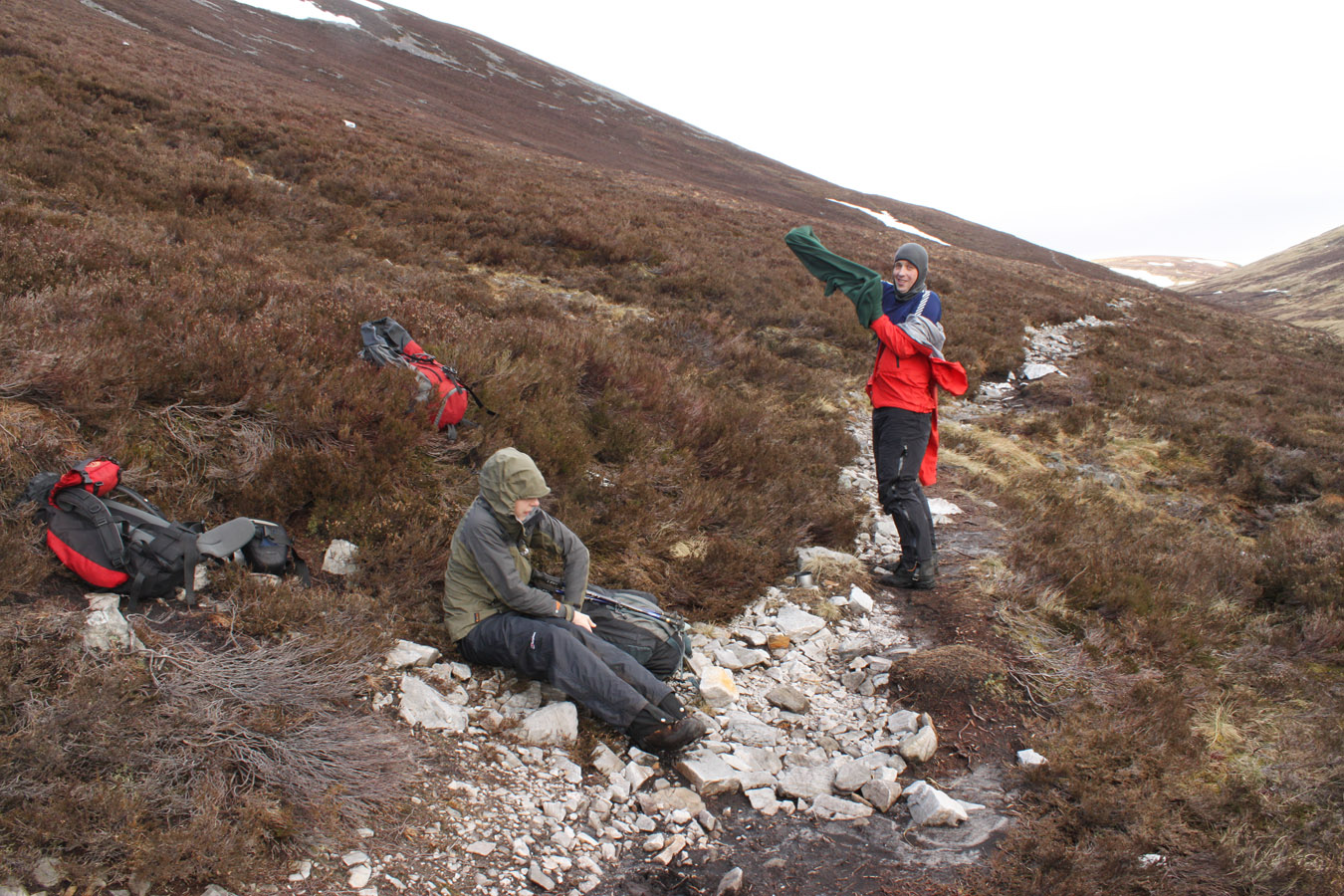
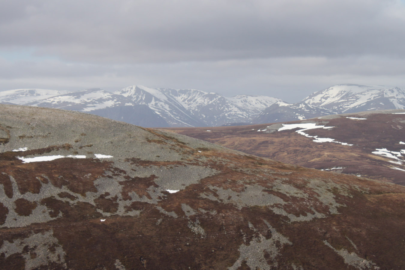
The northern slopes of Glas Tulaichean drop to Gleann Mor in a 300m sweep. We battled our way off this in hail and wind and worked our way down grassy slopes, to the river and back up the other side to a track. My guess is it's a stalkers track, and we stopped for a rest on the white boulders. I was feeling low on energy, but we'd been doing fine so far. 9kms were in the bag and there was still a lot to go. It was cold when we stopped, but the hail had blown itself out and the sun was back. This would be the sign of things to come for the rest of the day. So when we were feeling fit to go on, we walked the remainder of the distance to the foot of Carn an Righ and began the climb to it's summit.
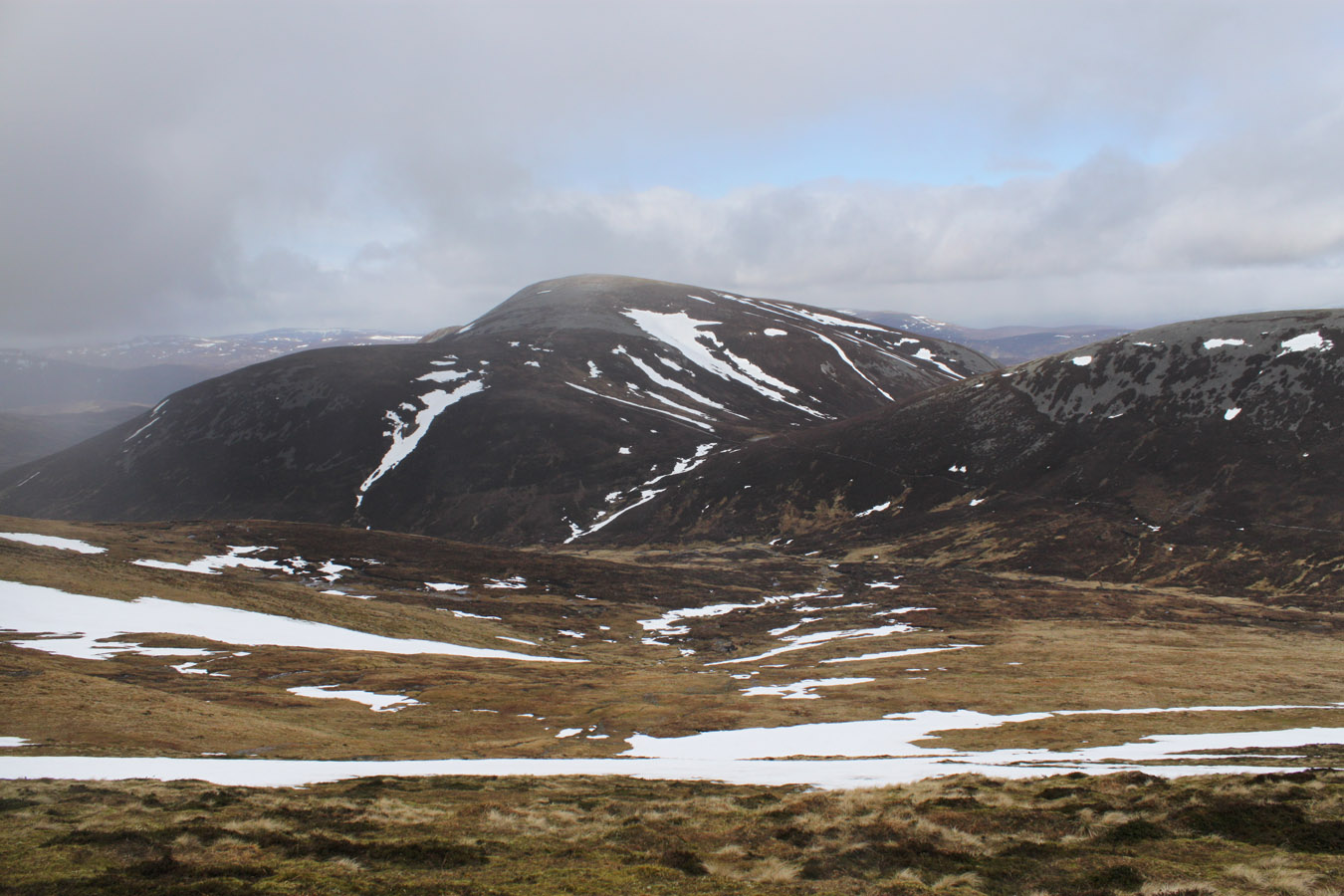

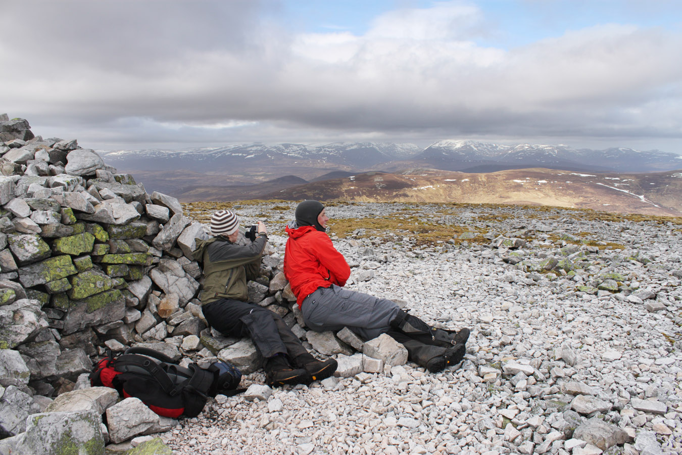
We were moving fast, and did the 250m in sub-30 minutes. In addition to our speed, the day was very positive - it was just great being out in the mountains, with huge views everywhere, in the middle of nowhere. The summit was windy but it didn't prevent us staying for ten minutes. In view, everything: Beinn a' Ghlo, Tilt, Tarf, the Cairngorms, Glen Shee... At the time I failed to notice Fealar Lodge, the remote settlement 20kms from the nearest public road, sitting at 550m between Carn an Righ and the head of Glen Tilt. I learned of it's existence in Martin Moran's The Munros in Winter, and only realised that we had seen it when at home, I found it's cluster of pink buildings nestled in the bottom of my pictures. It is in the Carn an Righ panorama.

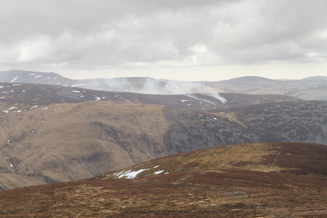
Beinn Iutharn Mhor
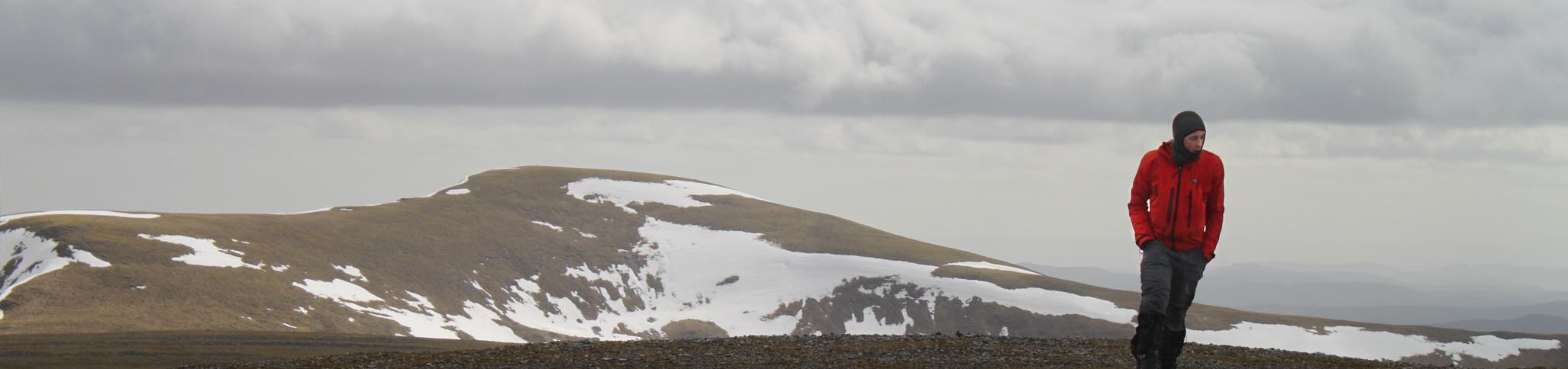
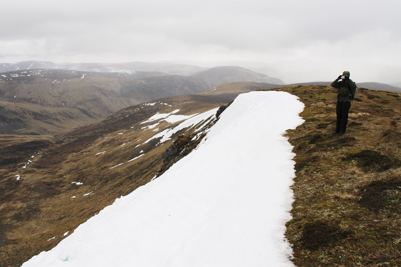
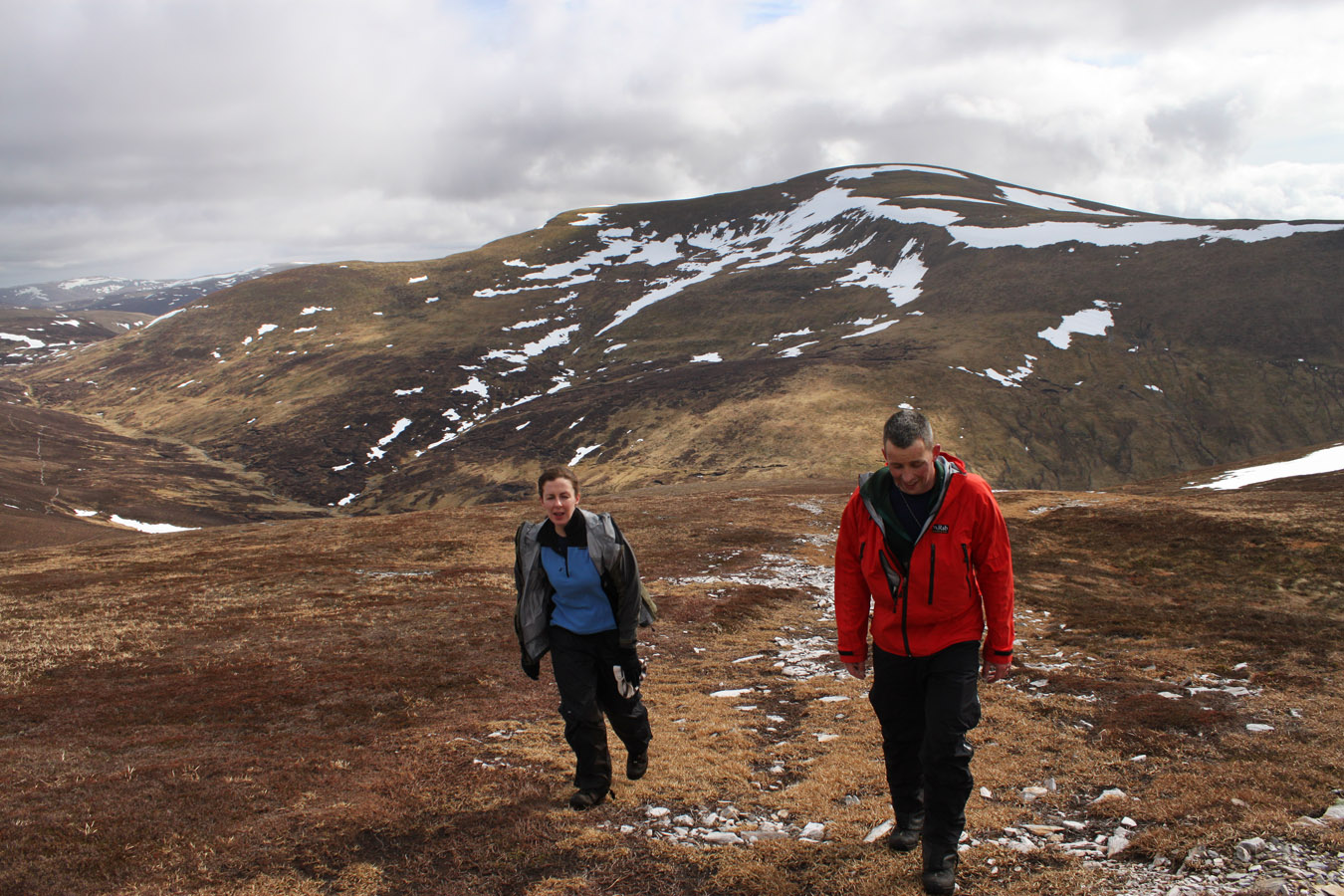
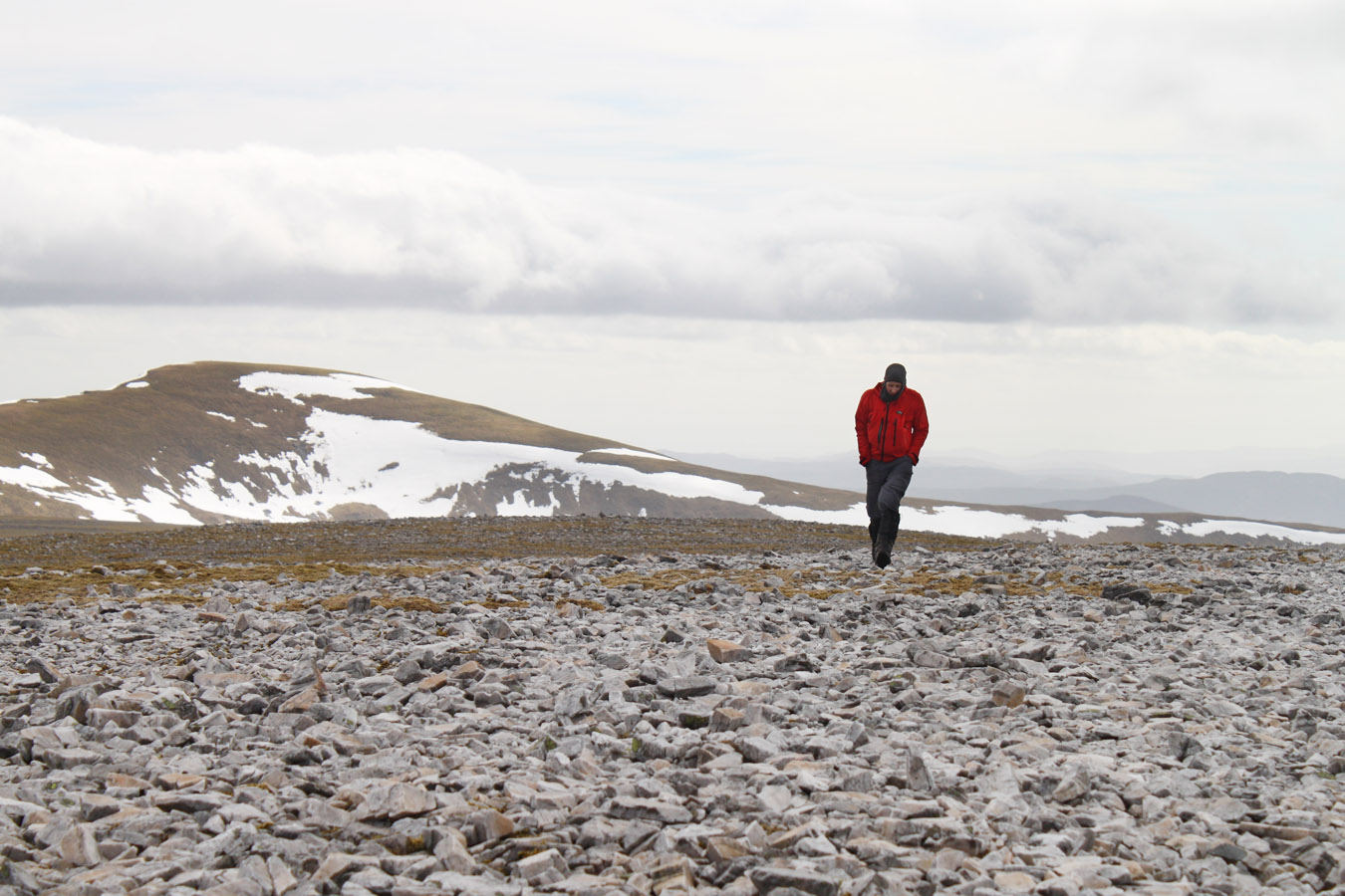
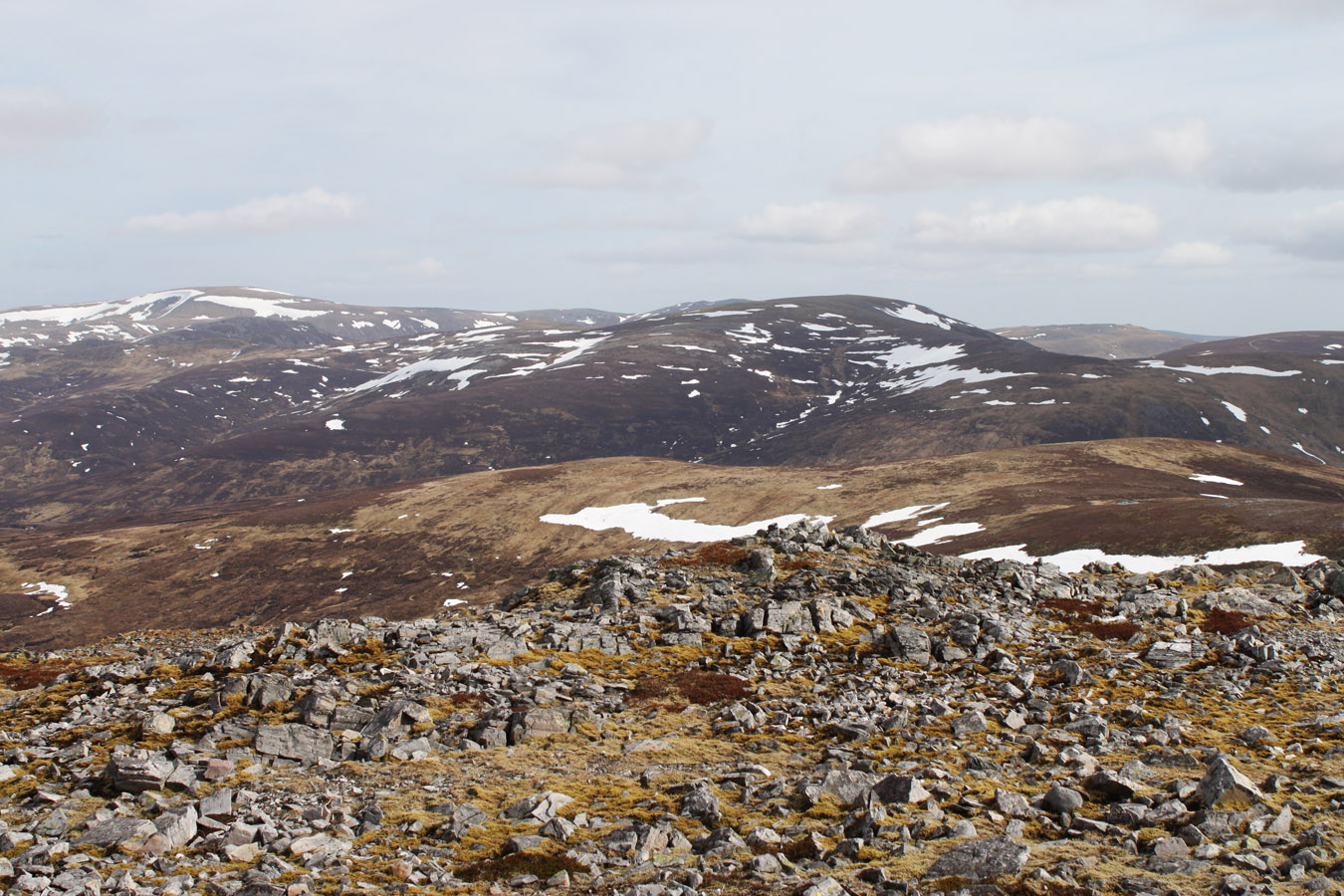
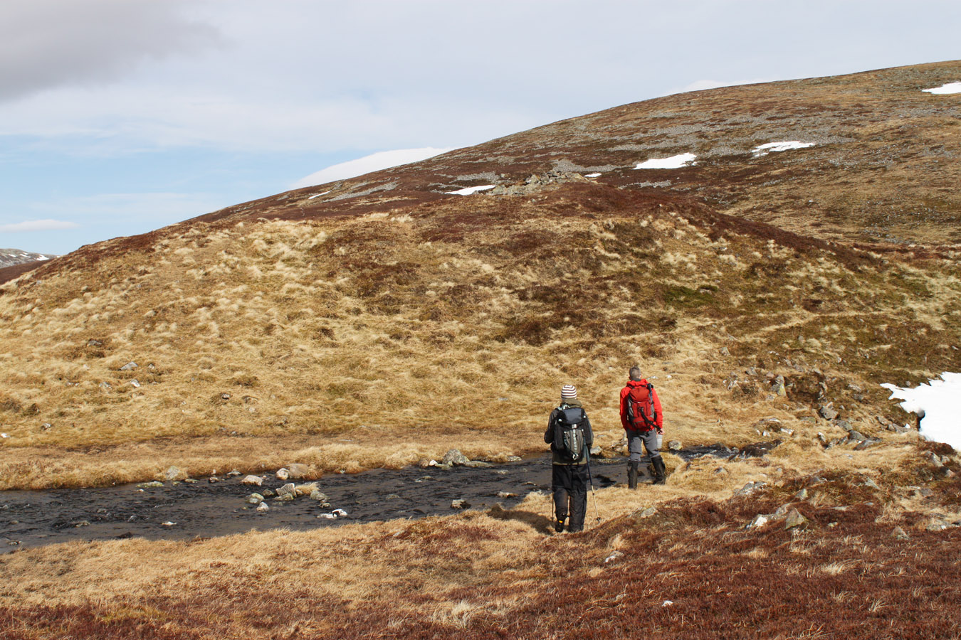
A quick descent from Carn an Righ began where we met a few guys going up. We picked up rucksacks at the bottom, chatted with some others and headed up Beinn Iutharn Mhor. It had seemed busy for a moment, but we wouldn't see anyone else until the end of the day. The track climbed the side of Mam nan Carn then faded out to let us make the remainder of the distance to the top. Rucksacks were dumped below Mam nan Carn (though I kept mine again) and we climbed the remaining height to Beinn Iutharn Mhor. Again, this was another beautiful viewpoint with unrelenting high winds sweeping the summit. I felt dizzy when I crouched into the summit windbreaker - I'm guessing this had something to do with walking through a crosswind, ears and pressure... Who knows. I took a panorama while trying to stand upright, and tried to soak in the views. This would be the last big summit of the day.

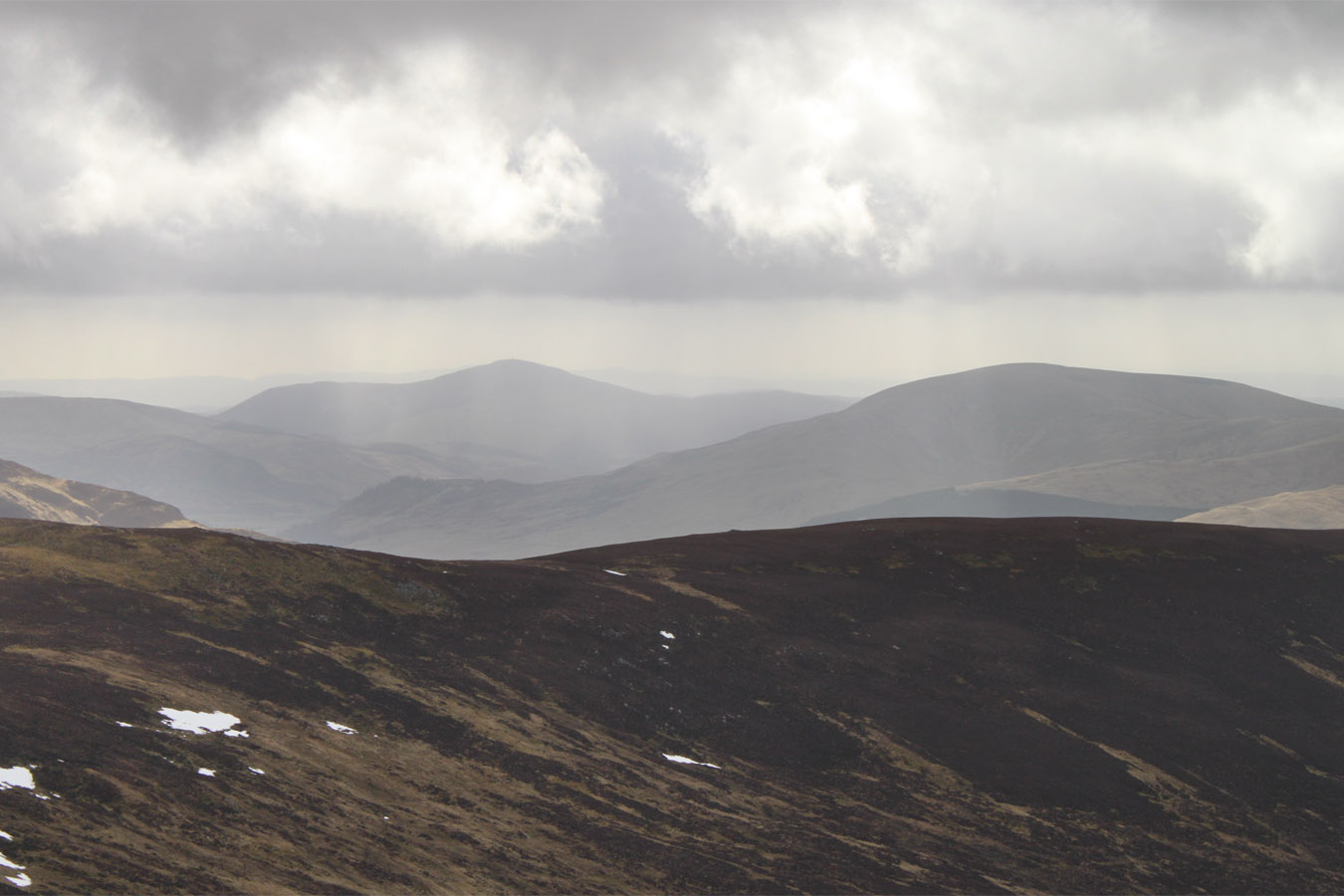
Top bagging: Mam nan Carn and Beinn Iutharn Bheag
Well I wasn't done quite yet: leaving Faye and Colin to contour round to Loch nan Eun, I headed up Mam nan Carn, a Munro Top. Going at full steam, the climb was short and quick and afterward I headed eastward to the loch where I'd meet them again. Tempted by one more summit, would they mind if I made a dash up Beinn Iutharn Bheag? That was fine, and Colin offered to take my pack. I continued with camera in hand and jogged then walked to the summit. This would be the last summit of the day, the last of a fantastic round. I thought it a shame to leave so soon, but I guess it was the first of many trips here... At the top, I noticed that the cloud had cleared off the distant Cairngorm plateau. Braeriach was in view, still holding a lot of snow...

Descent
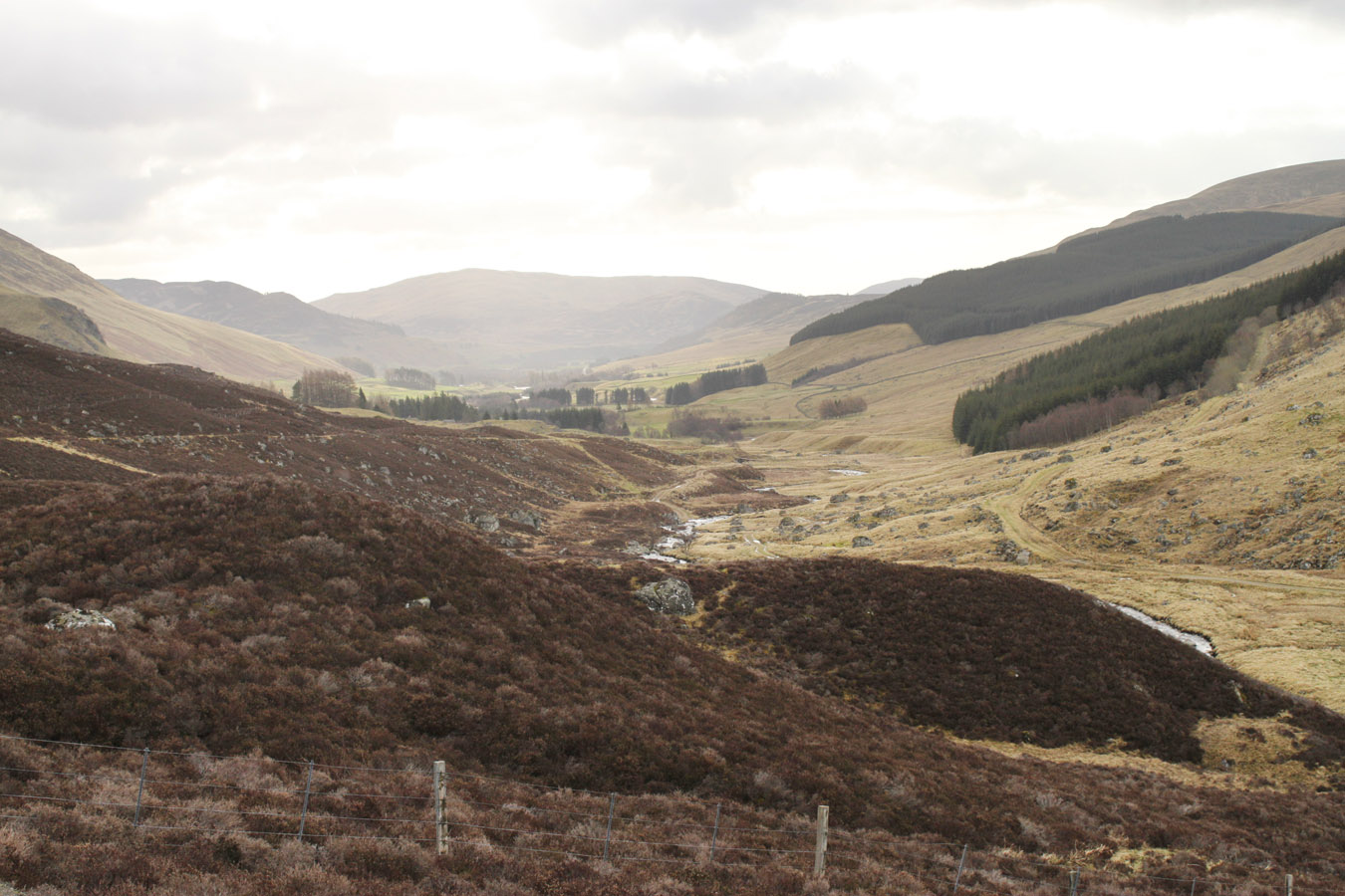
Prior to the walk, I hadn't been looking forward to descent. Measure it out on the map and the walk down Gleann Taitneach is an 8km walk stuck to the end of a 20km day. If I'd wound up cursing 8 kilometres of damp, sore feet, the walk-out would be a disaster.
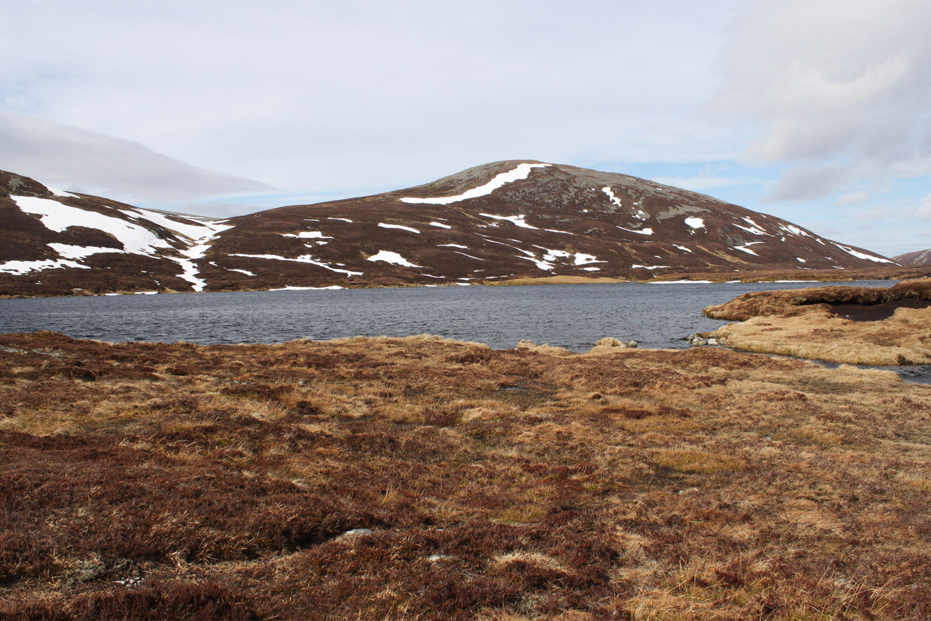
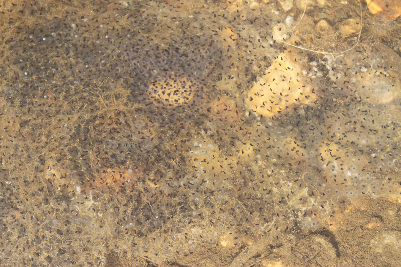
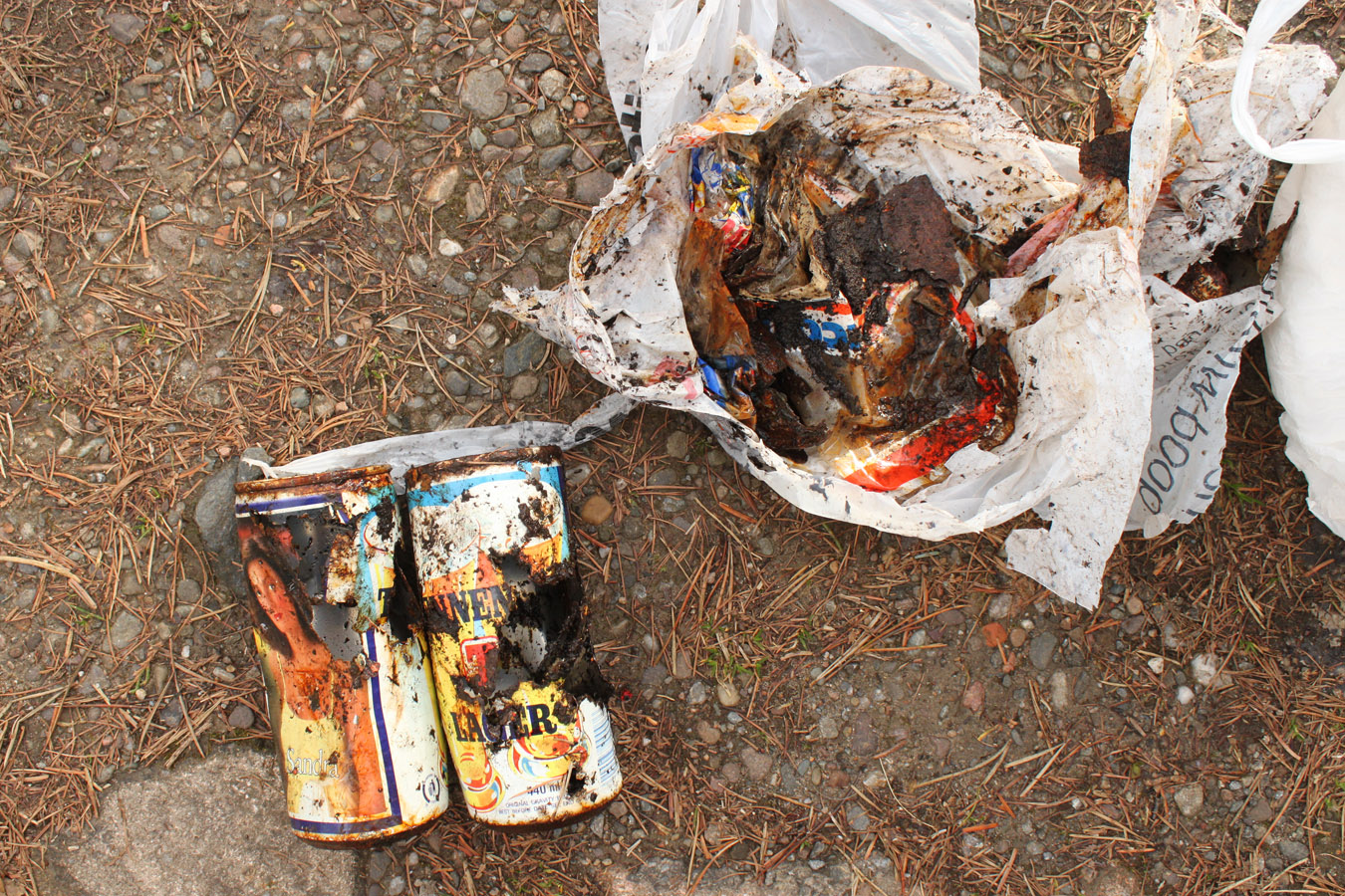
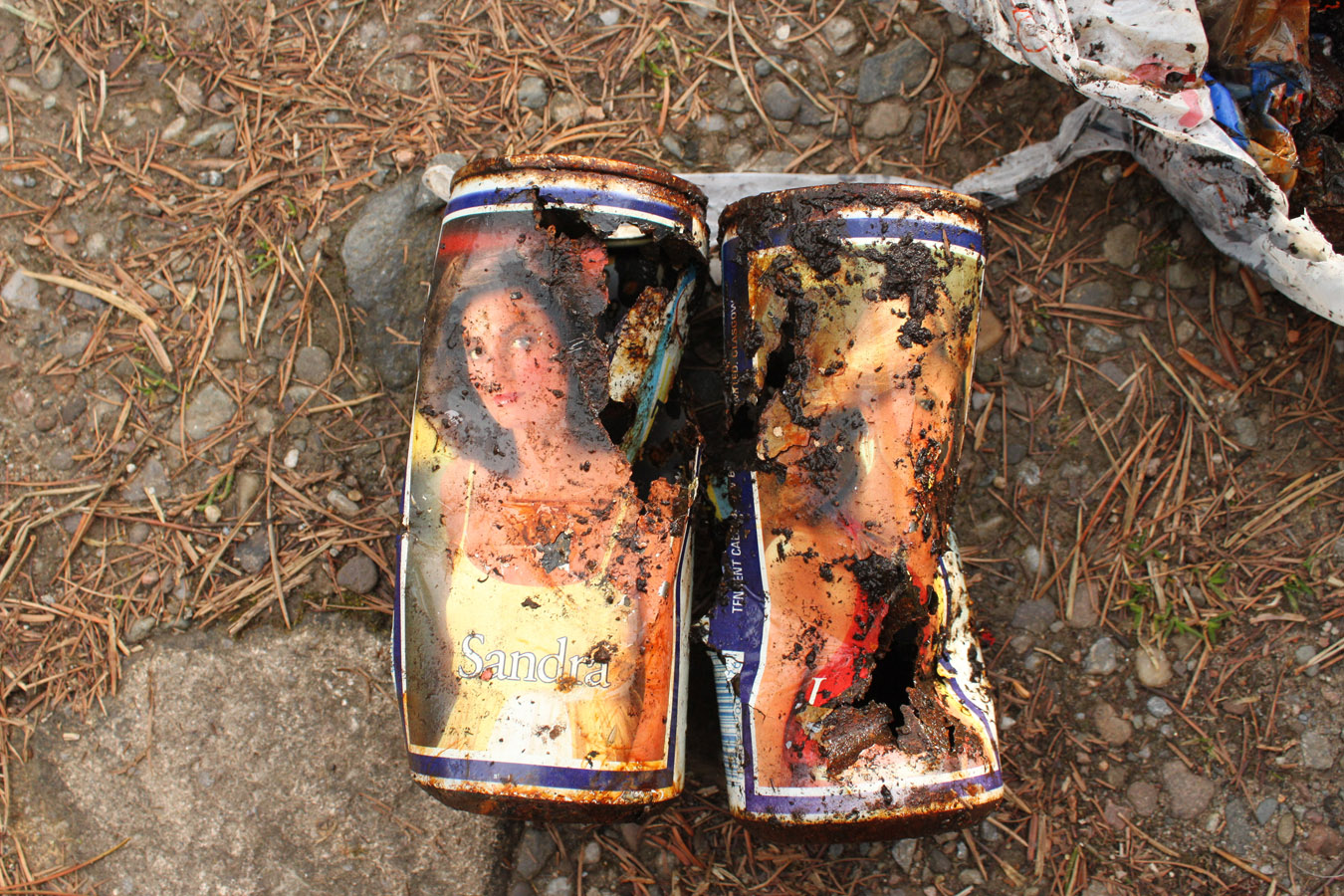
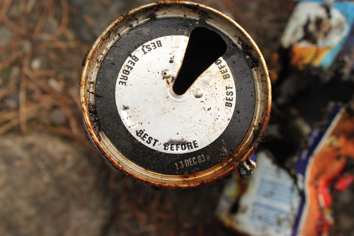
Actually, it was the exact opposite. It began with a great jog down to the west bank of Loch nan Eun, where I picked up rubbish in the peat - old Tennants cans which it would seem had been there for nearly 30 years. Loch nan Eun is a beautiful loch set in a remote location. I met Colin and Faye relaxing by the loch outflow, which drains into Gleann Taitneach.
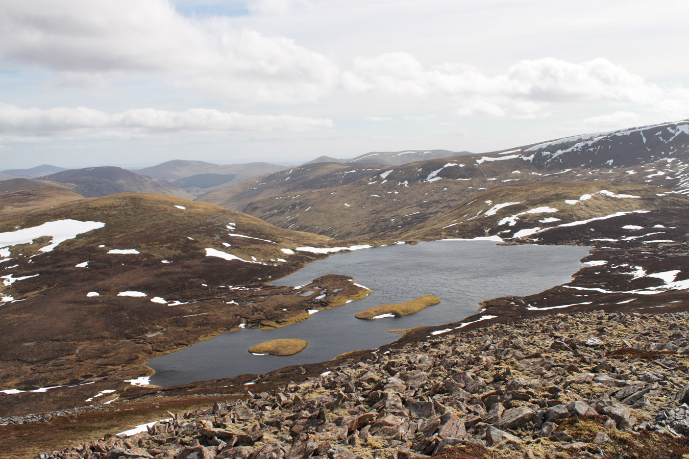
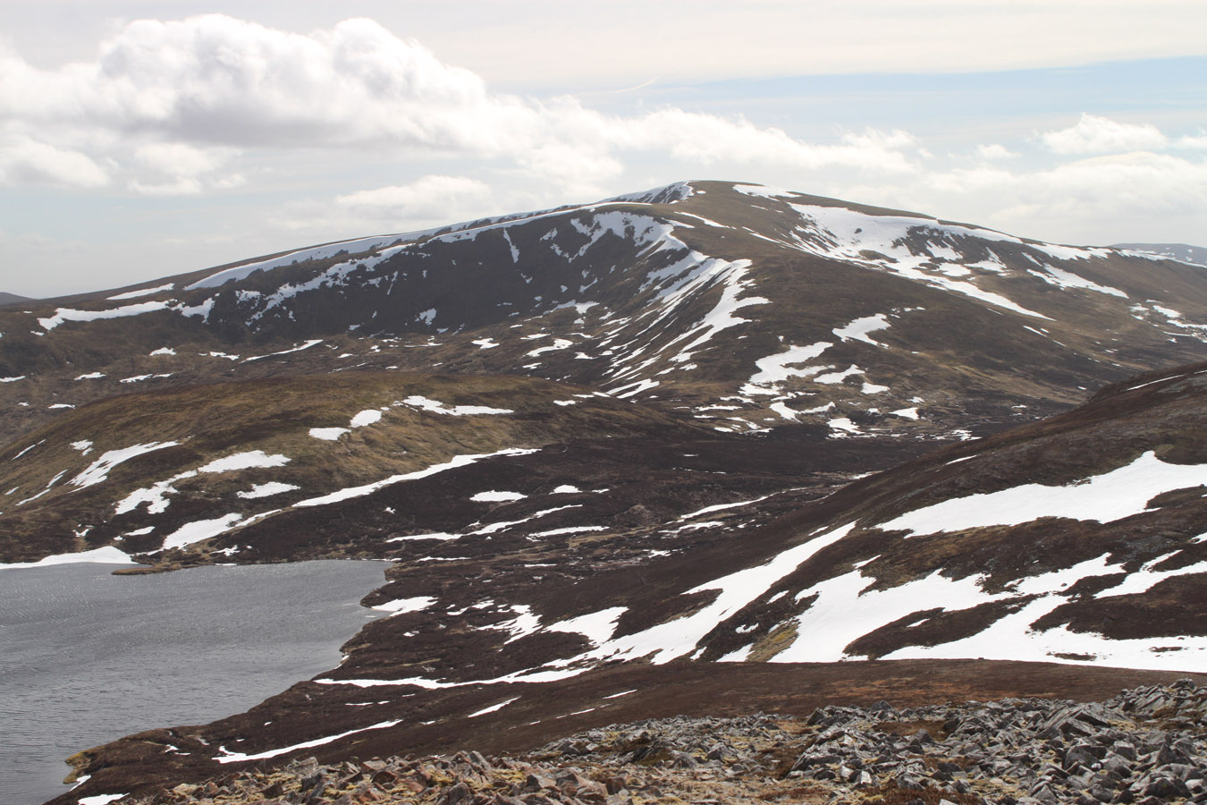
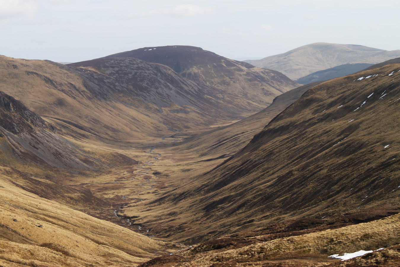
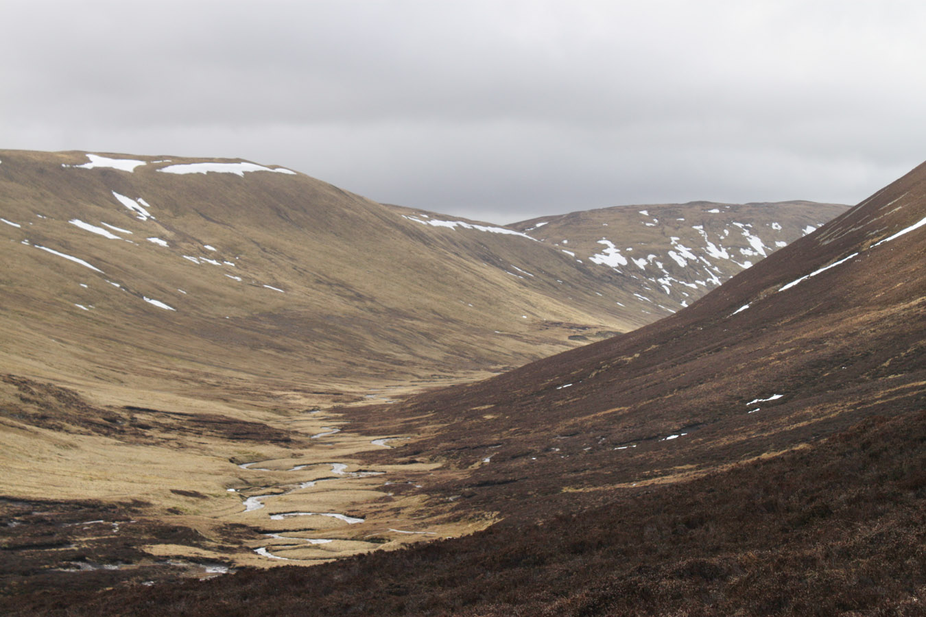
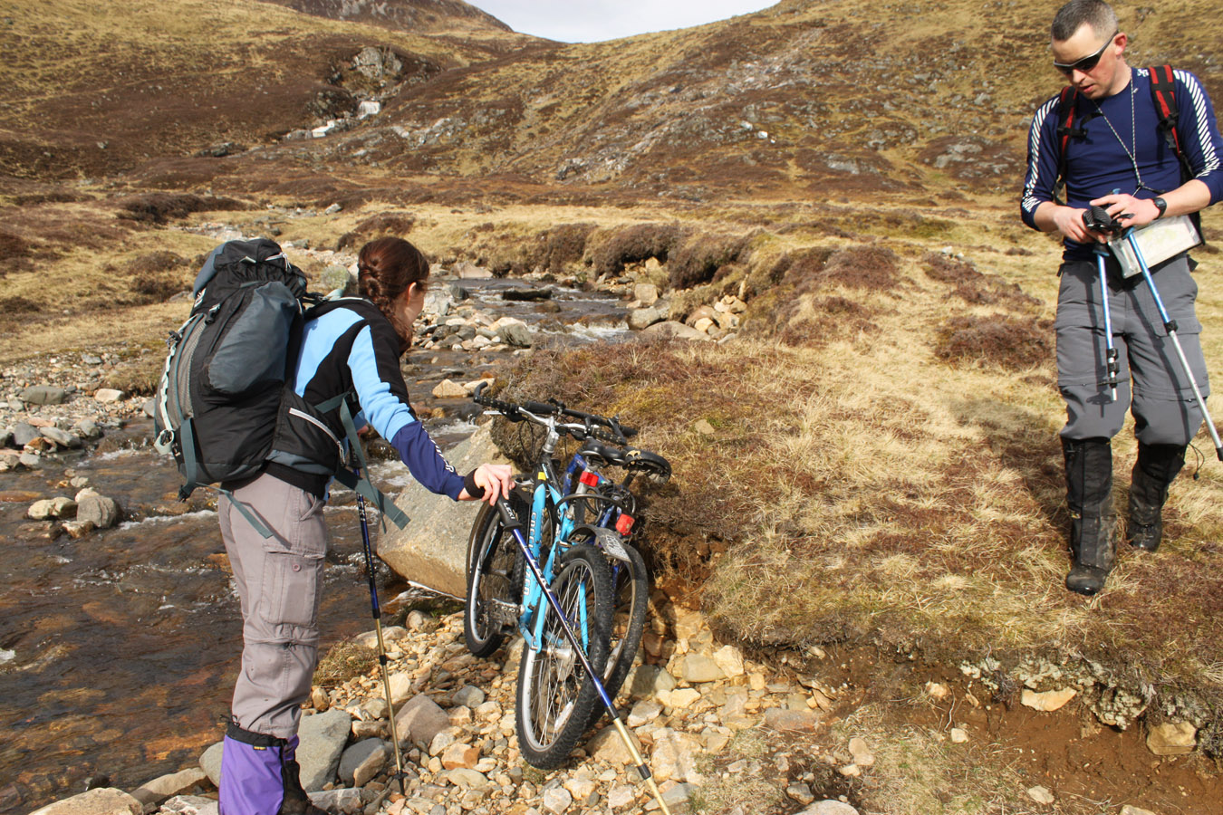
Gleann Taitneach is roughly the 'peaceful glen' and this first view of our exit route was astonishing. It looked all that the name suggested - beautiful and amiable and a great example of a glacial U-shaped valley. We crossed to the east bank and followed a path down by the river. Someone was camping at the top of the glen, others were walking up - lower down we would find their bikes.

While it was a long walk out and sore on the soles, it wasn't suffered through. I had sandals in my rucksack but didn't feel the need to change for the 4WD track. And although I was completely knackered when we arrived back at the car, it had always stayed a very fun day. One to remember.
360° Panoramas

Carn an Righ

Beinn Iutharn Mhor
Times (Time relative to 0.00)
(0.00) 8.40am Dalmunzie Hotel
(1.40) 10.20am Creag Bhreac
(2.45) 11.25am Glas Tulaichean
(3.15) 11.55am Gleann Mor break
(3.35) c. 12.15pm Started moving
(4.15) 12.55pm Carn an Righ
(5.20) 2.00pm Beinn Iutharn Mhor
(5.55) 2.35pm Mam nan Carn
(6.15) 2.55pm Beinn Iutharn Bheag
(6.45) 3.25pm Head of Gleann Taitneach
(8.45) 5.25pm Dalmunzie Hotel
Written: 2011-05-08