
Beinn Eunaich - 989m
Beinn a' Chochuill - 980m
Sron an Isean - 966m
Stob Daimh - 998m
Stob Garbh - 980m
Saturday 16th May 2009
Beinn a' Chochuill - 980m
Sron an Isean - 966m
Stob Daimh - 998m
Stob Garbh - 980m
Saturday 16th May 2009
 Weather/Conditions: Mix of sun, cloud and showers. All tops were summited in cloud, but all emerged later in the day as the cloud base rose. I'm sure there was some hail but the summits were very cold indeed, not helped by a strong wind at many points.
Distance/Ascent/Time: 16km / 1700m / 9h 20m
Accompanying: Michael
Beinn Eunaich
We parked on the B8077, at the head of the track that leads to Castles Farm (8.55am). A track contours the south-western slopes of Beinn Eunaich, which we followed for several hundred metres to avoid climbing through the steep ground at Stob Maol. The mountains were cloud capped, but we remained underneath sun. Such weather hadn't been forecast, but it wasn't to last either.
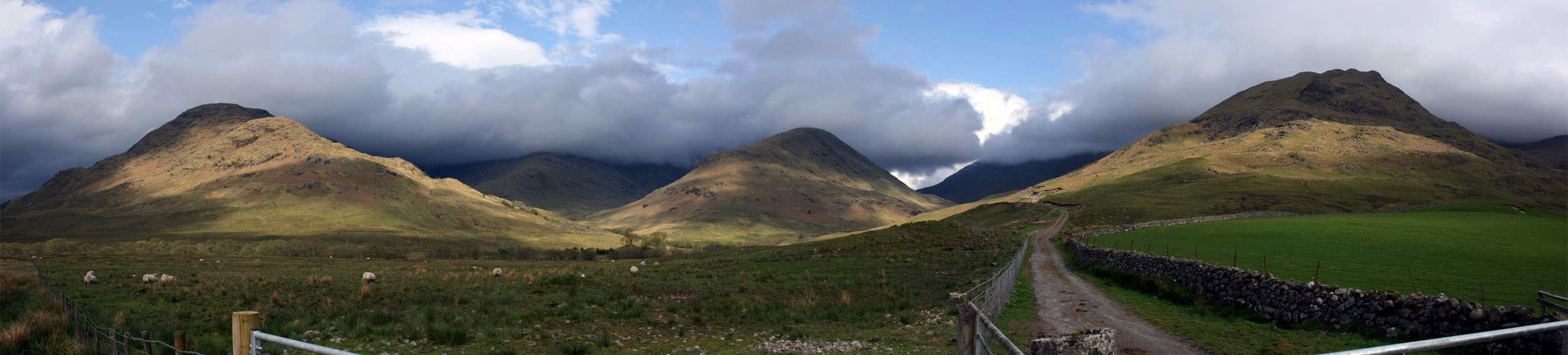
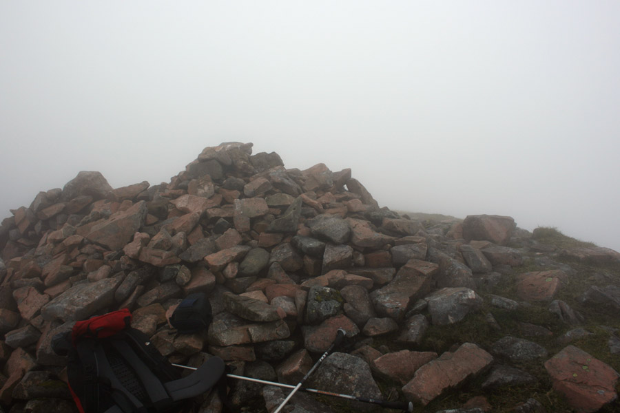
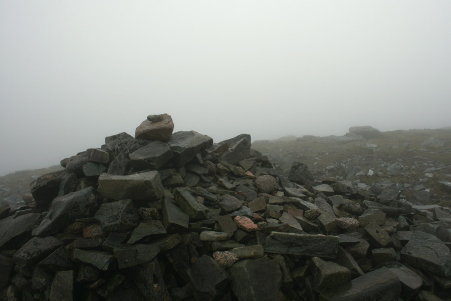
We turned off the track and climbed Eunaich's western slopes to gain the south ridge. The south ridge is broad and offered a simple ascent upwards with no navigational problems. The last two hundred metres were in cloud but having kept a steady pace, we arrived at the summit of Beinn Eunaich where we were met by an unmistakable cairn of red rocks (11.10am).
Beinn a' Chochuill
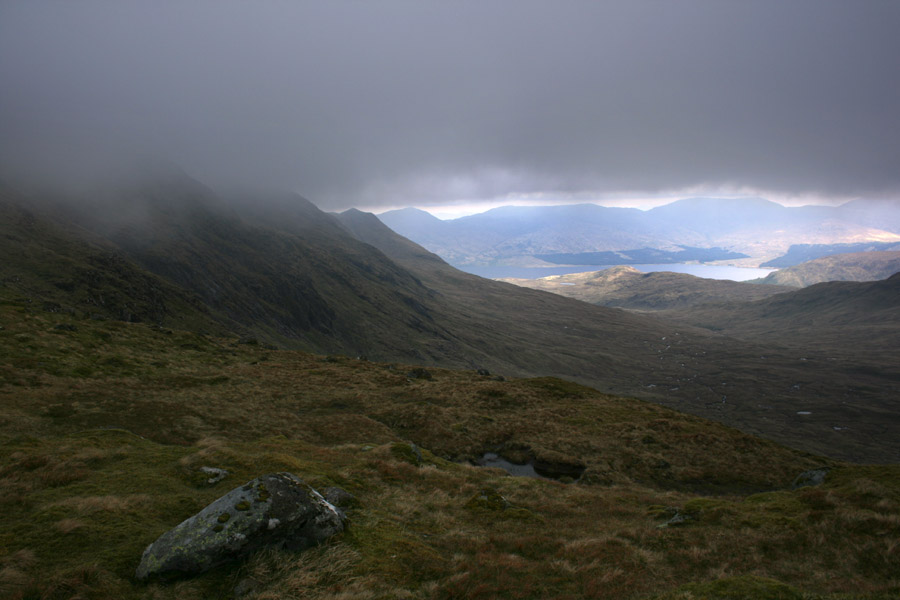
We stopped at the top for a couple of minutes before continuing to Beinn a' Chochuill. It wasn't nearly as cold at 900m as MWIS had forecast, but enough to keep us walking. We picked up a path immediately after leaving the summit, and followed it through the cloud to the bealach below. The clouds parted briefly to reveal views north and south, and the wind that blew across the bealach was strong enough to occasionally throw us off balance.
From the bealach, we climbed back into the cloud and onto the ridge of Beinn a' Chochuill. Once at it's eastern end, one kilometre of ridge lay between us and the summit and we continued through the cloud not knowing quite where it lay. We sometimes wondered whether we'd passed it altogether, I almost brought the GPS out at a couple of points. But the hillside rose higher once more and at the top sat a substantially sized cairn. We'd arrived at the summit of Beinn a' Chochuill (12.20pm).


Stob Daimh
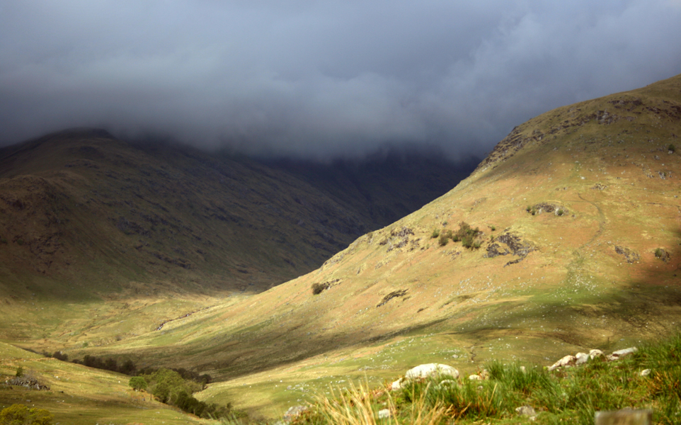
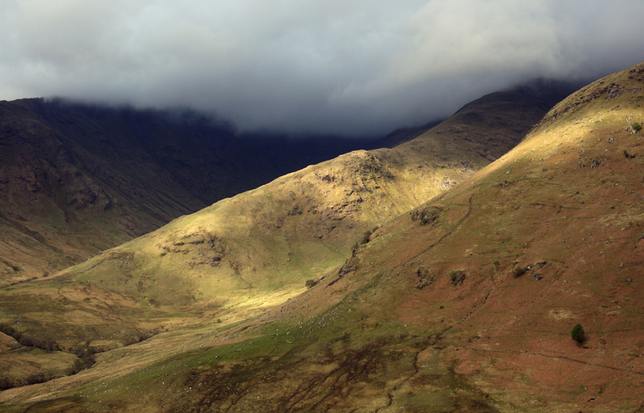
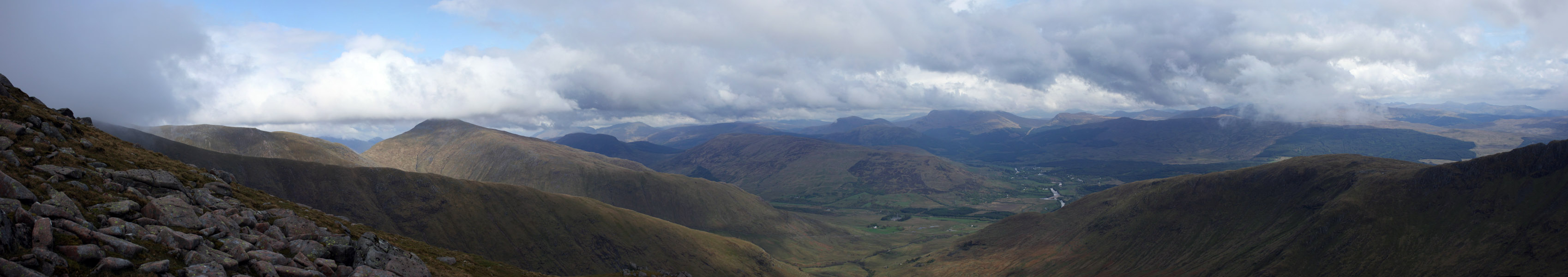
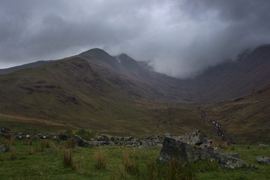
Similarly to Beinn Eunaich, any view was cut off by the mist. But it was beginning to rain and and we left quickly, picking a line out down the southern slopes. It wasn't overly steep here, just steep enough to make a quick descent, and we emerged from the clouds once more. Now revealed were views across to the mist shrouded Ben Cruachan. It just looked enormous, with ridges towering into the cloud, on and on down Glen Noe. It was a spectacular sight.
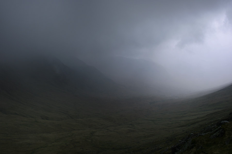
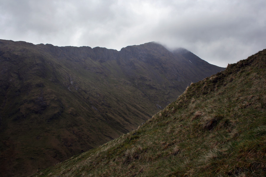
Having negotiated the last steep ground on Chochuill, Michael and I arrived at Lairig Noe where we searched for shelter from the now persistent rain. High winds drove the rain forward, so being amongst it was none too pleasant. Above us now was Stob Diamh, my final Munro in the range. It was tempting to go for, on what Michael reckoned to be a narrow ridge, so high winds could be risky. When the cloud cleared, the upper slopes looked extraordinarily steep. We weighed up the possibilities for five minutes but decided to go up. We climbed the other side of the valley, rising once more into the mist.
I have to say that such weather has got to be my least favourite. I'd prefer to be in a white out than be standing drenched in the middle of a cloud on a murky day. It's the least appealing weather, perhaps because it leaves you inevitably soaked through, but also partly because the significance of a summit becomes redundant. In the middle of the cloud, I've always felt it just becomes another bit of ground, that means little else than a bagged summit compared to feeling as if you're up there. I've always had affection for the mystery that the mountains provoke in such conditions, and I'd have to admit some longing to be up there amongst them. You can feel that from the comforts of the car though, and not necessarily just on the hill.
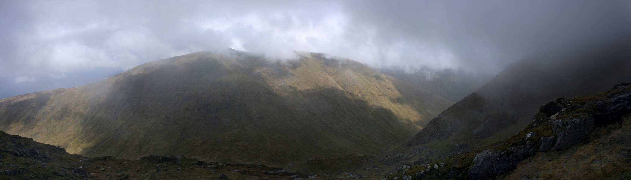
The rain didn't last on Stob Daimh, and the ascent up the north side to Sron an Isean (Munro Top) turned out to be substantially easier than it had looked. The wind had almost diminished for one, but the steep slopes seen from below were far tamer up close. We simply picked our way up past the crags and everything worked itself out. We emerged into a small corrie north of Sron an Isean, and climbed around the west side, before climbing one final steep slope to gain the east ridge of Sron an Isean. This involved climbing over a couple of snow banks, but they were not at all problematic.
It was a five minute walk up to Sron an Isean's summit, a Munro Top of Stob Diamh (2.35pm) and then another ten minutes of walking along the ridge to Stob Diamh's summit (2.45pm). The ridge was a little narrow in places, but not overly so. I believe it would have been a fabulous place to be should we be granted with views, though there was no such thing today. In the future I may return to climb the four Munros in clear weather, but this is just a thought.
Stob Garbh and Descent
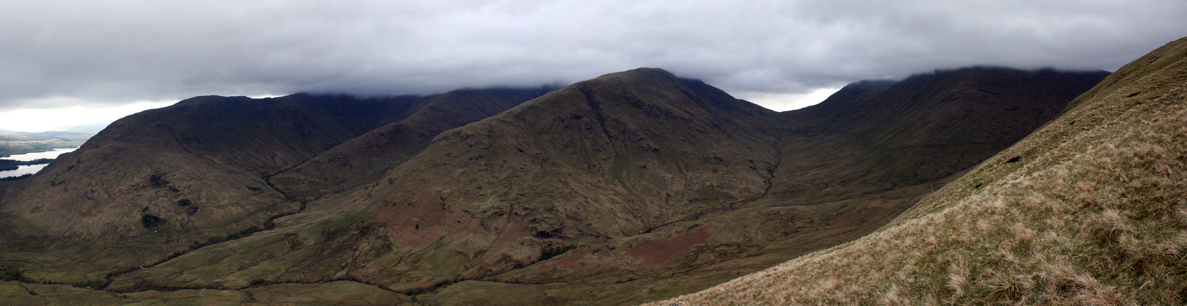
Now at the summit of Stob Diamh, we assumed we knew our bearings, and walked in the direction of Stob Garbh, our final top for the day. We quickly picked up a path and followed it for a long way, in retrospect, probably too far for it to have been the ridge to Stob Garbh. And in one moment, the clouds began to clear. The Cruachan Reservoir should have been on our right hand side, and it was on our left. This confused us for a few moments, before we realised our mistake. We were on the wrong ridge. The wind blasted the clouds clear and ahead I caught sight of a razor edge ridge, rising to heights that were far beyond that of a mere Munro Top. We were on the way to Ben Cruachan! What an easy mistake to make! I'd made the very same mistake only a few months earlier on Beinn a' Chroin. On Ben Cruachan, the clouds closed once more, and we retraced our steps back up to Stob Diamh.
Now rather tired from the days exertions, we slogged back to Stob Diamh before taking a careful compass reading to Stob Garbh (3.40pm). It had taken us a full 50 minutes to get there.
I spent a couple of minutes on the summit, and even hung around because I'd suspected that the clouds were to clear. When it was apparent they weren't going to, we left and headed down the south-eastern arm of the hill. Below, we met the first people we'd seen since we started out, a couple taking their child up. The kid looked bored stiff, damp and miserable, but we left them to it and continued our descent. Perhaps owing to the ridges steepness, descending was fairly tedious but the views we could now see were long reaching towards the south east. I had to bare the effects this ridge on my legs a little, but we got to the bottom soon enough.
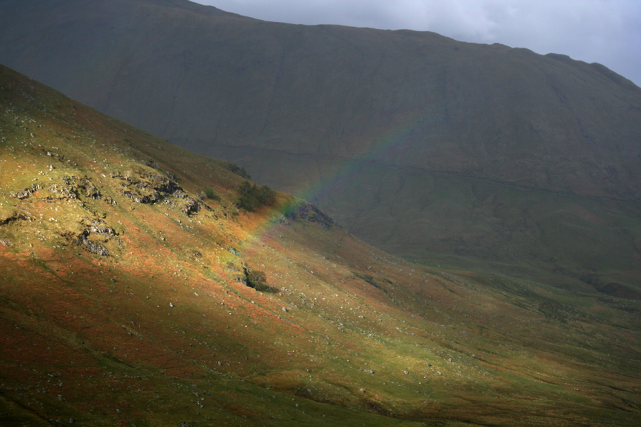
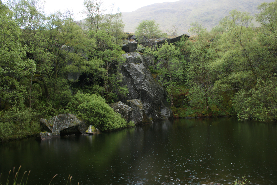
The remainder of the walk was along the track out of Coire Glas, alongside old quarries and a couple of stone built structures, now derelict. A couple of light rain showers passed through as we walked back to the van, and we passed deer along the way. We were back at the van at 6.15pm, 9 hours and 20 minutes after we began.


Written: 2009-05-18